Diversified Zone · China
Tahe Industrial Demonstration Base Active
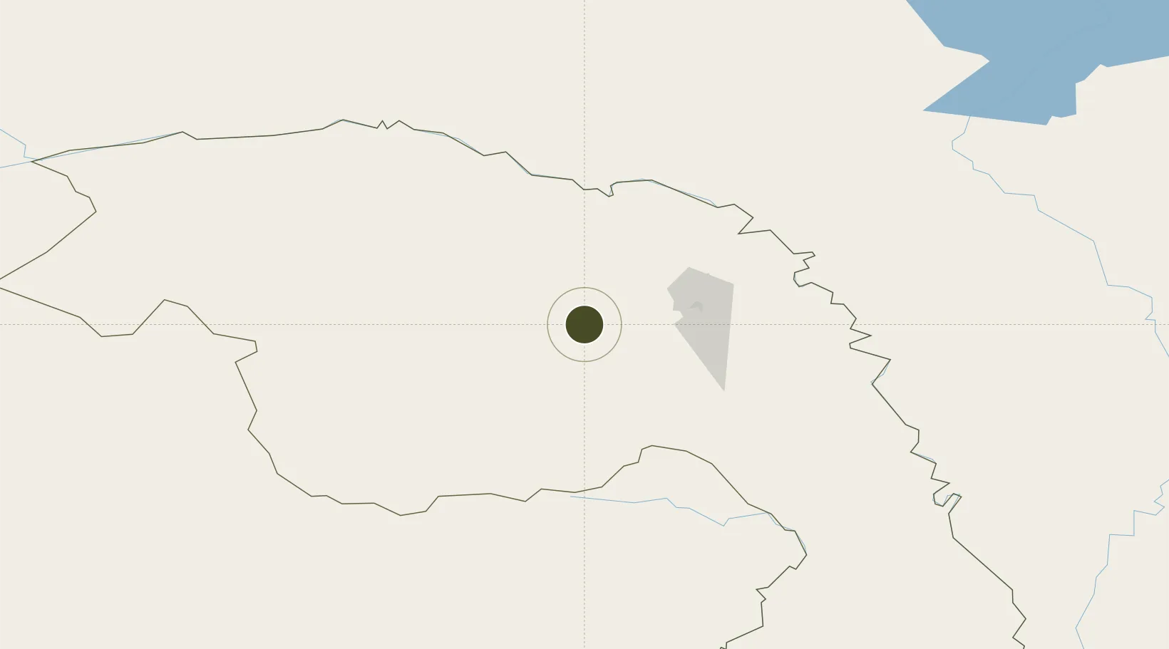
52.3411°, 124.7238°
112 ha
Zone area
1,156.7 km
Nearest port
168.0 km
Nearest airport
Gateway access
Zone profile
Zone type
Diversified Zone
Region
Heilongjiang
Status
Active
Management
Public
Operator
Management Committee of Tahe Industrial Demonstration Base
Legal framework
Regulations on Taxation Policies of National High-Tech Industrial Development Zones Approved by State Council of the People's Republic of China Mar 6, 1991; Administrative Measures for the Recognition of High-tech Enterprises; Ministry of Science and Tech
Location
Nearby Logistics Neighbours
Ports
- 1Vladivostok1157 km
- 2Slavyanka1165 km
- 3Pos'yet1169 km
- 4Zarubino1179 km
- 5Najin1199 km
Airports
- 1Mohe Gulian Airport168 km
- 2Daxing'anling Elunchun Airport223 km
- 3Ignatyevo Airport283 km
- 4Heihe Aihui Airport301 km
- 5Wudalianchi Dedu Airport445 km
DatabookThe Record of Consolidated Knowledge
China beyond logistics?