Diversified Zone · China

Hulunbuir Olunchun Autonomous Banner Industrial Park Active
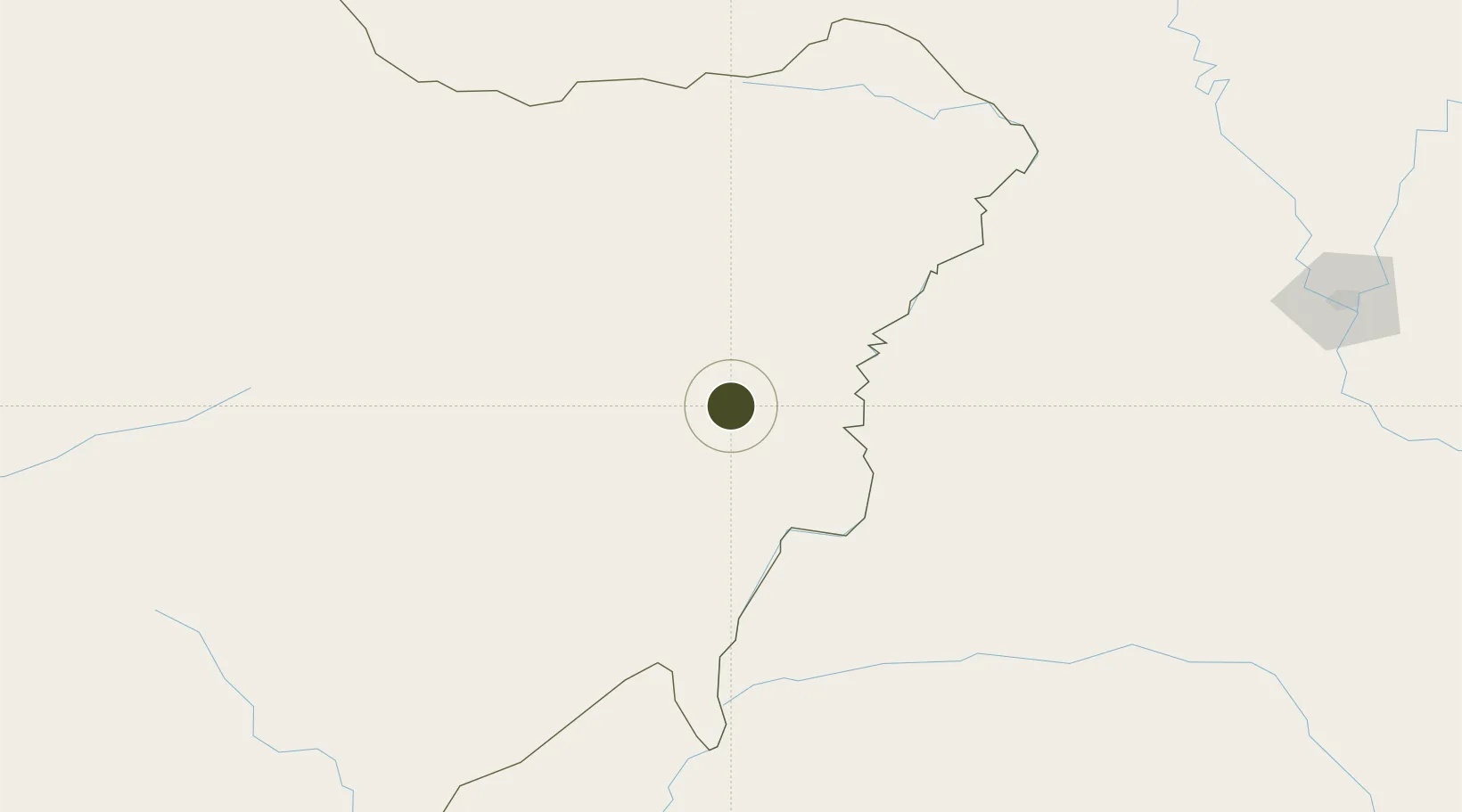
49.7602°, 124.5851°
485 ha
Zone area
923.3 km
Nearest port
75.7 km
Nearest airport

Gateway access

Nearest neighbours — logibook spatial index (haversine) over the source coordinates

Zone profile

Zone type
Diversified Zone
Open Zone Map
Region
Inner Mongol
Open Zone Map
Status
Active
Open Zone Map
Management
Public
Open Zone Map
Operator
Management Committee of Hulunbuir Olunchun Autonomous Banner Industrial Park
Open Zone Map
Legal framework
It was founded in July 2012
Open Zone Map

Location

Location of ozm-537
Natural Earth 10m (public domain) · Inner Mongol · ozm-537 · 49.76, 124.59GoogleOSMYandex

Nearby Logistics Neighbours

Ports
  1. 1Pos'yet923 km
  2. 2Vladivostok927 km
  3. 3Slavyanka927 km
  4. 4Zarubino936 km
  5. 5Najin946 km
Nearest neighbours — logibook spatial index (haversine) over the source coordinates
Airports
  1. 1Daxing'anling Elunchun Airport76 km
  2. 2Wudalianchi Dedu Airport185 km
  3. 3Heihe Aihui Airport200 km
  4. 4Ignatyevo Airport215 km
  5. 5Zhalantun Genghis Khan Airport249 km
Nearest neighbours — logibook spatial index (haversine) over the source coordinates
Cities
  1. 1Sunwu201 km
  2. 2Vintirov206 km
  3. 3Heihe214 km
  4. 4Huma260 km
  5. 5Xunke280 km
Nearest neighbours — logibook spatial index (haversine) over the source coordinates
Trade Zones
  1. 1Jiu San Economic Development Zone112 km
  2. 2Nehe Economic Development Zone143 km
  3. 3Arong Banner Industrial Park200 km
  4. 4Sun Wu Industrial Demonstration Base204 km
  5. 5Yian Economic Development Zone213 km
Nearest neighbours — logibook spatial index (haversine) over the source coordinates
DatabookThe Record of Consolidated Knowledge
China beyond logistics?
Browse databook

All Sources

Trade ZonesOpen Zone Map
CC BY
Portsthe NGA World Port Index
Public domain (US gov)
AirportsOurAirports
Public domain
LocationsUN/LOCODE
UN/LOCODE — free
← China trade zones