Seaport · Martinique
Fort De FranceMQFDF
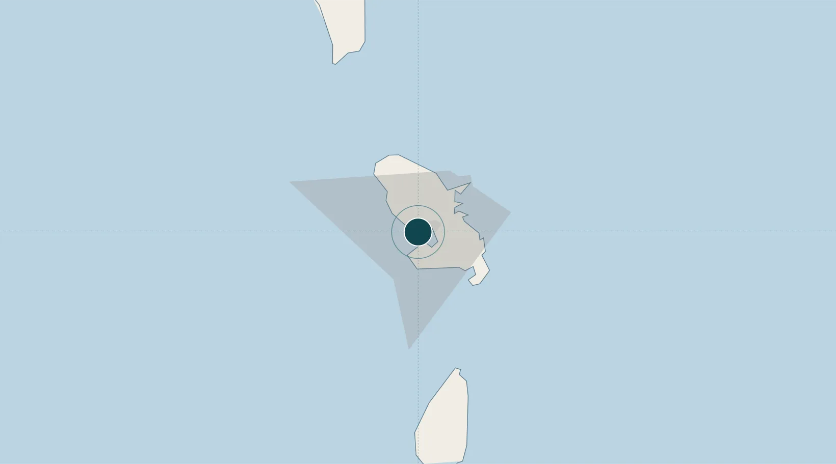
14.6000°, -61.0667°
9.4 m
Channel depth
1
Container terminals
75.2
Port liner connectivity
Channel & Berth Profile
Pilotage, Tugs & Services
Pilotage compulsoryYES
Pilotage availableYES
Pilotage advisableYES
Local assistanceYES
Tug assistanceYES
Salvage tugsYES
Potable waterYES
MedicalYES
Garbage disposalYES
Facilities & Capabilities
Container—
Ro-Ro—
Liquid bulk—
Dry bulk—
Oil terminal—
Break bulk—
Dry dockNO
RepairsNO
BunkeringYES
Rail link—
Dangerous cargo—
ISPS security—
Harbour Specifications
Harbour size
Medium
Harbour type
Open Roadstead
Shelter
Good
Water body
Caribbean Sea; North Atlantic Ocean
Tidal range
1 m
Overhead limit
No
Pilotage
Yes
Liner Connectivity
75.2
PLSCI
Port Liner Shipping Connectivity Index for Fort De France, as published by UNCTAD for the latest available quarter. Higher values indicate stronger scheduled liner-shipping integration.
Shown relative to the highest per-port PLSCI in the dataset (1,657.9).
Location
Container Terminals · 1
POINTE DES GRIVES CONTAINER TERMINAL
PDGT GRAND PORT MARITIME DE LA MARTINIQUE (GPMLM)
Nearby Logistics Neighbours
Ports
- 1Castries65 km
- 2Grand Cul De Sac Bay69 km
- 3Roseau86 km
- 4Vieux Fort99 km
- 5Portsmouth116 km
Cities
- 1Port de Fort-de-France Pt.2 km
- 2Case-Pilote8 km
- 3Les Anses-d'Arlet13 km
- 4Le Robert16 km
- 5Le François20 km
Airports