Transport Functions
Port
Road
Hub Profile
Place type
Populated place
Region
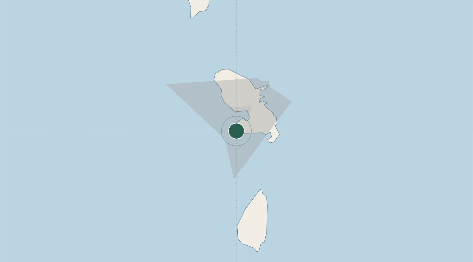
Martinique
Time zone
America/Martinique
Elevation
9 m
Location
Nearby Logistics Neighbours
Cities
- 1Fort-de-France14 km
- 2Port de Fort-de-France Pt.14 km
- 3Case-Pilote18 km
- 4Le Robert26 km
- 5Le François26 km
Ports
- 1Fort De France13 km
- 2Castries53 km
- 3Grand Cul De Sac Bay56 km
- 4Vieux Fort86 km
- 5Roseau97 km
Airports