Transport Functions
Port
Road
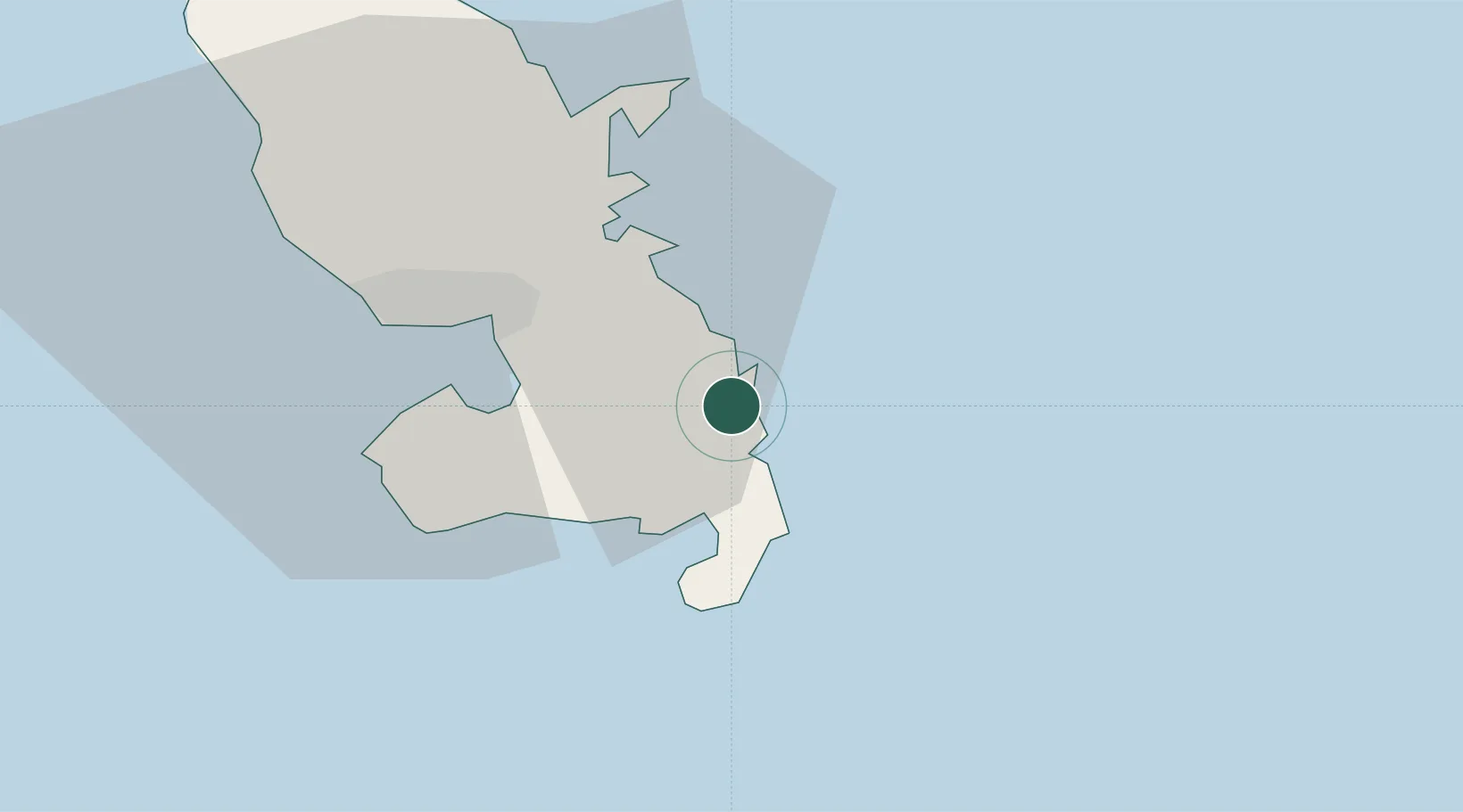
Hub Profile
Place type
Populated place
Region
Martinique
Population
7,812
Time zone
America/Martinique
Elevation
8 m
Location
Nearby Logistics Neighbours
Cities
- 1Le François8 km
- 2Le Robert16 km
- 3Fort-de-France22 km
- 4Port de Fort-de-France Pt.22 km
- 5Les Anses-d'Arlet26 km
Ports
- 1Fort De France24 km
- 2Castries62 km
- 3Grand Cul De Sac Bay66 km
- 4Vieux Fort94 km
- 5Roseau102 km
Airports