Medium airport · St. Vincent & Grenadines
J F Mitchell AirportTVSB
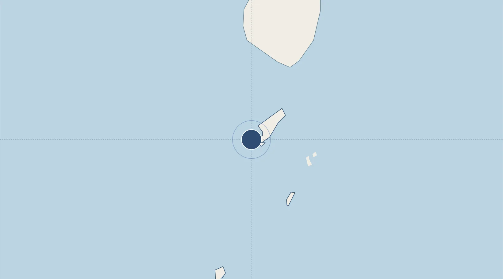
12.9884°, -61.2620°
3,609 ft
Longest runway
1
Runways
15 ft
Elevation
Runway & Layout

Radio Frequencies
TWR
118.45 MHz
GND
121.9 MHz
Runways · 1
| Runway | Dimensions | Surface | True heading | Lit |
|---|---|---|---|---|
| 12/30 | 3,609 × 98ft | Asphalt | 103° | ✓ |
Airport Specifications
IATA code
BQU
ICAO code
TVSB
Airport class
Medium airport
Scheduled service
Yes
Runway surface
Asphalt
Served city
Bequia
Location
Nearby Logistics Neighbours
Airports
- 1Mustique Airport14 km
- 2Argyle International Airport23 km
- 3Canouan Airport33 km
- 4Union Island International Airport46 km
- 5Lauriston Airport61 km
Cities
- 1Port Elizabeth, Bequia5 km
- 2Kingstown17 km
- 3Campden Park20 km
- 4Canouan Island31 km
- 5Georgetown35 km
Ports
- 1Kingstown18 km
- 2Vieux Fort87 km
- 3Grand Cul De Sac Bay114 km
- 4St George's117 km
- 5Castries118 km
DatabookThe Record of Consolidated Knowledge
St. Vincent & Grenadines beyond logistics?