Large airport · Martinique
Martinique Aimé Césaire International AirportTFFF
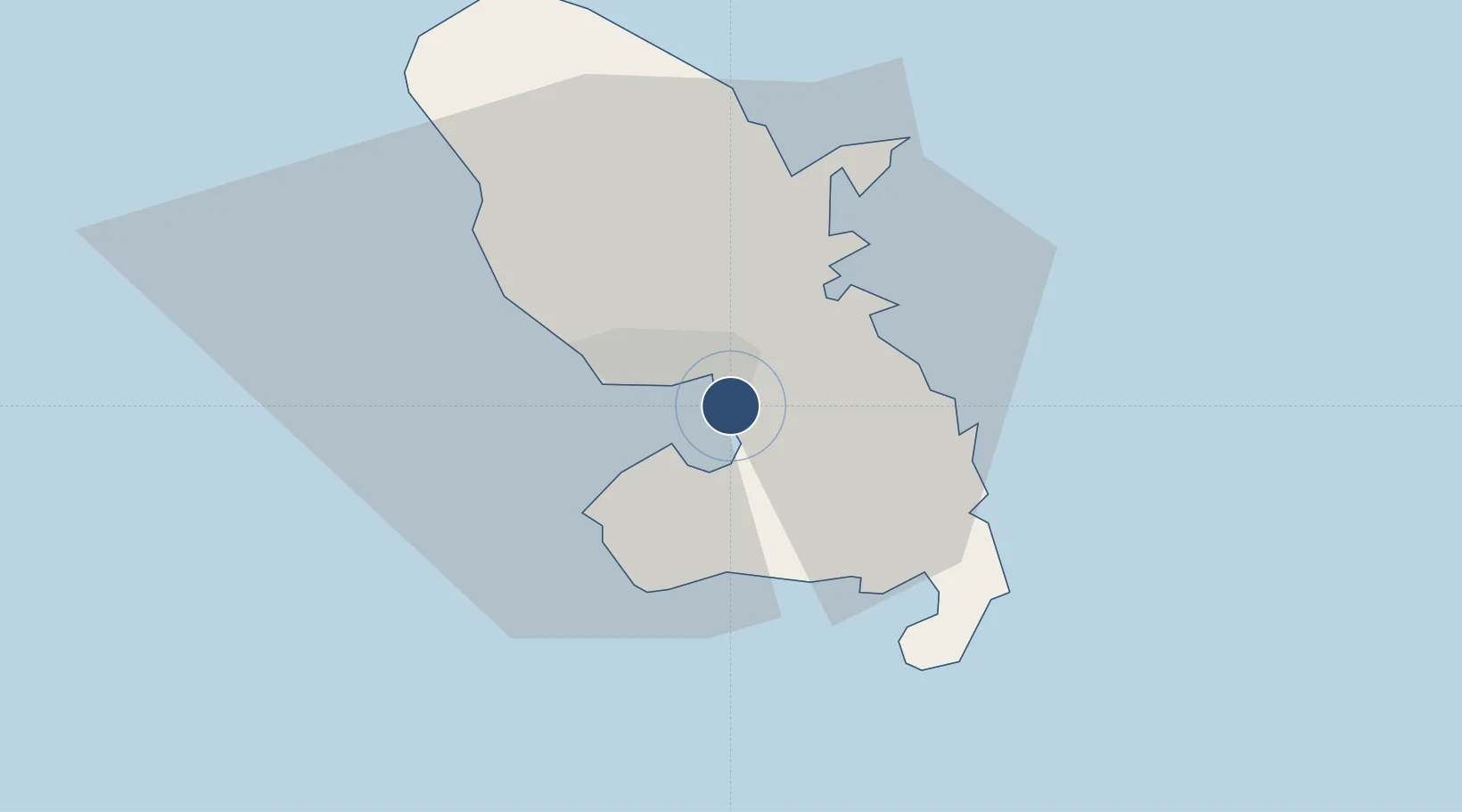
14.5910°, -61.0032°
9,843 ft
Longest runway
1
Runways
16 ft
Elevation
Runway & Layout

Radio Frequencies
ATIS
127.85 MHz
TWR
118.5 MHz
FORT DE FRANCE TWR
GND
121.9 MHz
APP
121 MHz
FORT DE FRANCE APP
Navaids
FOF VOR-DME Fort De France 113.30 MHz
FOF NDB Fort De France 329 kHz
Runways · 1
| Runway | Dimensions | Surface | True heading | Lit |
|---|---|---|---|---|
| 10/28 | 9,843 × 148ft | Asphalt | 080° | ✓ |
Airport Specifications
IATA code
FDF
ICAO code
TFFF
Airport class
Large airport
Scheduled service
Yes
Runway surface
Asphalt
Served city
Fort-de-France
Location
Nearby Logistics Neighbours
Airports
- 1George F. L. Charles Airport64 km
- 2Canefield Airport93 km
- 3Hewanorra International Airport96 km
- 4Douglas-Charles Airport111 km
- 5Marie-Galante Airport145 km
Cities
- 1Fort-de-France5 km
- 2Port de Fort-de-France Pt.5 km
- 3Le Robert11 km
- 4Le François13 km
- 5Les Anses-d'Arlet15 km
Ports
- 1Fort De France7 km
- 2Castries64 km
- 3Grand Cul De Sac Bay68 km
- 4Roseau90 km
- 5Vieux Fort97 km