Small airport · Indonesia

Diphikin AirstripID-0031
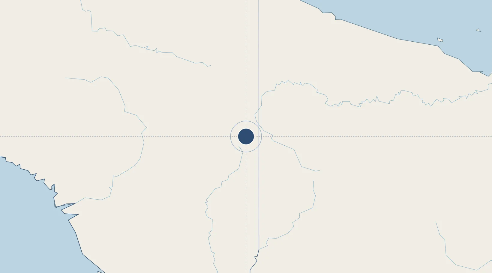
-4.7255°, 140.7923°
1,745 ft
Longest runway
1
Runways
5,568 ft
Elevation

Runway & Layout

Diphikin Airstrip runway & taxiway layout
Runway & taxiway layout — OpenStreetMap (ODbL) / OurAirports

Runways · 1

RunwayDimensions SurfaceTrue headingLit
18/36 1,745 × 98ft Grass
OurAirports

Airport Specifications

Airport class
Small airport
OurAirports
Scheduled service
Yes
OurAirports
Runway surface
Grass
OurAirports
Served city
Binsari
OurAirports

Location

Location of ID-0031
Natural Earth 10m (public domain) · Papua · ID-0031 · -4.73, 140.79GoogleOSMYandex

Nearby Logistics Neighbours

Airports
  1. 1Okpahik Airstrip4 km
  2. 2Oklip Airstrip4 km
  3. 3Kiwirok Airstrip6 km
  4. 4Okyap Airstrip7 km
  5. 5Kiwi Airstrip8 km
Nearest neighbours — logibook spatial index (haversine) over the source coordinates
Cities
  1. 1Asike218 km
  2. 2Jayapura, Irian Jaya243 km
  3. 3Demta276 km
  4. 4Yentchan280 km
  5. 5Aiambak297 km
Nearest neighbours — logibook spatial index (haversine) over the source coordinates
Ports
  1. 1Vanimo230 km
  2. 2Wewak Harbor340 km
  3. 3Merauke420 km
  4. 4Amamapare424 km
  5. 5Daru551 km
Nearest neighbours — logibook spatial index (haversine) over the source coordinates
Trade Zones
  1. 1Sandaun Special Economic Zone84 km
  2. 2Sepik Special Economic Zone118 km
  3. 3Vanimo Special Economic Zone233 km
  4. 4Western Province Special Economic Zone255 km
  5. 5Manus Special Economic Zone433 km
Nearest neighbours — logibook spatial index (haversine) over the source coordinates
DatabookThe Record of Consolidated Knowledge
Indonesia beyond logistics?
Browse databook

All Sources

AirportsOurAirports
Public domain
Portsthe NGA World Port Index
Public domain (US gov)
LocationsUN/LOCODE
UN/LOCODE — free
Trade Zonesthe World Bank SEZ database
CC BY 4.0
Trade ZonesOpen Zone Map
CC BY
InfrastructureOpenStreetMap
ODbL 1.0
← Indonesia airports