Runway & Layout

Airport Specifications
Airport class
Small airport
Scheduled service
Yes
Served city
Pegunungan Bintang
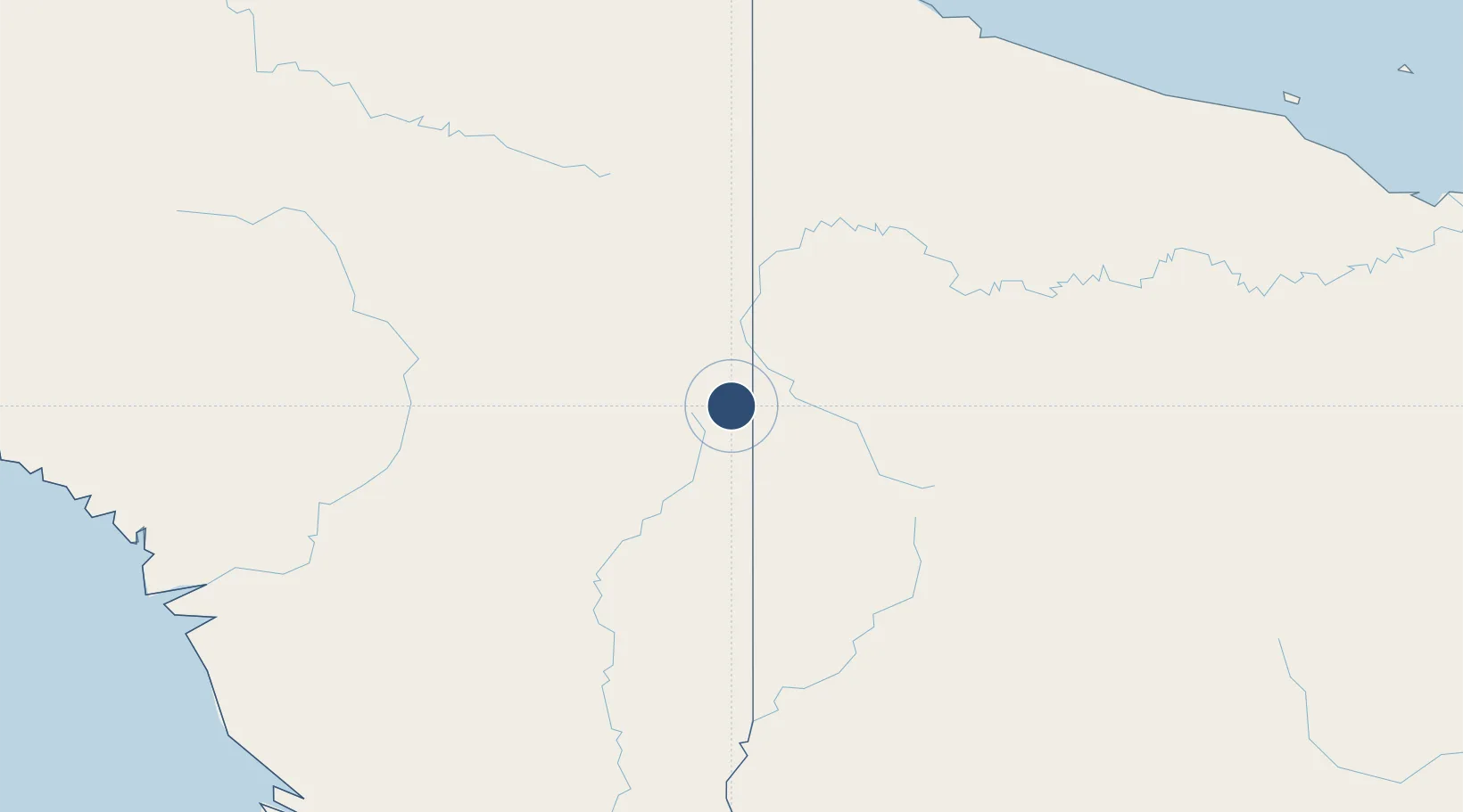
Location
Nearby Logistics Neighbours
Airports
- 1Okyap Airstrip9 km
- 2Oklip Airstrip12 km
- 3Diphikin Airstrip14 km
- 4Molding Airstrip16 km
- 5Okpahik Airstrip18 km
Cities
- 1Asike209 km
- 2Jayapura, Irian Jaya254 km
- 3Yentchan274 km
- 4Aiambak284 km
- 5Demta289 km
Ports
- 1Vanimo240 km
- 2Wewak Harbor337 km
- 3Merauke410 km
- 4Amamapare433 km
- 5Daru537 km
Trade Zones
DatabookThe Record of Consolidated Knowledge
Indonesia beyond logistics?