Export Processing Zone · Pakistan

Gujranwala Export Processing Zone Active
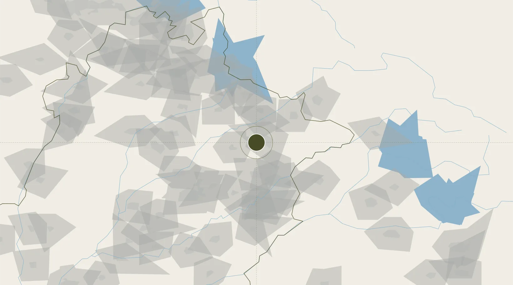
32.1583°, 74.0245°
46 ha
Zone area
1,048.8 km
Nearest port
52.8 km
Nearest airport

Gateway access

Nearest neighbours — logibook spatial index (haversine) over the source coordinates

Zone profile

Zone type
Export Processing Zone
Open Zone Map
Region
Punjab
Open Zone Map
Status
Active
Open Zone Map
Management
Public
Open Zone Map
Operator
Export Processing Zones Authority
Open Zone Map
Legal framework
Export Processing Zones Authority Ordinance 1980 (IV of 1980);
Open Zone Map

Location

Location of ozm-3042
Natural Earth 10m (public domain) · Punjab · ozm-3042 · 32.16, 74.02GoogleOSMYandex

Nearby Logistics Neighbours

Ports
  1. 1Muhamamad Bin Qasim1049 km
  2. 2Karachi1070 km
  3. 3Kandla1082 km
  4. 4Navlakhi1082 km
  5. 5Mundra1132 km
Nearest neighbours — logibook spatial index (haversine) over the source coordinates
Airports
  1. 1Sialkot International Airport53 km
  2. 2Allama Iqbal International Airport79 km
  3. 3Sri Guru Ram Das Ji International Airport88 km
  4. 4Jammu Airport97 km
  5. 5Mangla Airport106 km
Nearest neighbours — logibook spatial index (haversine) over the source coordinates
Cities
  1. 1Sialkot51 km
  2. 2Lahore80 km
  3. 3Jhelum90 km
  4. 4Jammu98 km
  5. 5Bari Brahmana99 km
Nearest neighbours — logibook spatial index (haversine) over the source coordinates
Trade Zones
  1. 1Sialkot Export Processing Zone46 km
  2. 2Mirpur Special Economic Zone57 km
  3. 3Rachna Industrial Park62 km
  4. 4Allama Iqbal Industrial City Special Economic Zone93 km
  5. 5M-3 Industrial City99 km
Nearest neighbours — logibook spatial index (haversine) over the source coordinates
DatabookThe Record of Consolidated Knowledge
Pakistan beyond logistics?
Browse databook

All Sources

Trade ZonesOpen Zone Map
CC BY
Portsthe NGA World Port Index
Public domain (US gov)
AirportsOurAirports
Public domain
LocationsUN/LOCODE
UN/LOCODE — free
← Pakistan trade zones