UN/LOCODE hub · India
INBBH

Bari Brahmana

32.6333°, 74.9167°
2
Transport functions

Transport Functions

Rail
Road
UN/LOCODE

Hub Profile

Region
JK
GeoNames

Location

Location of INBBH
Natural Earth 10m (public domain) · JK · INBBH · 32.63, 74.92GoogleOSMYandex

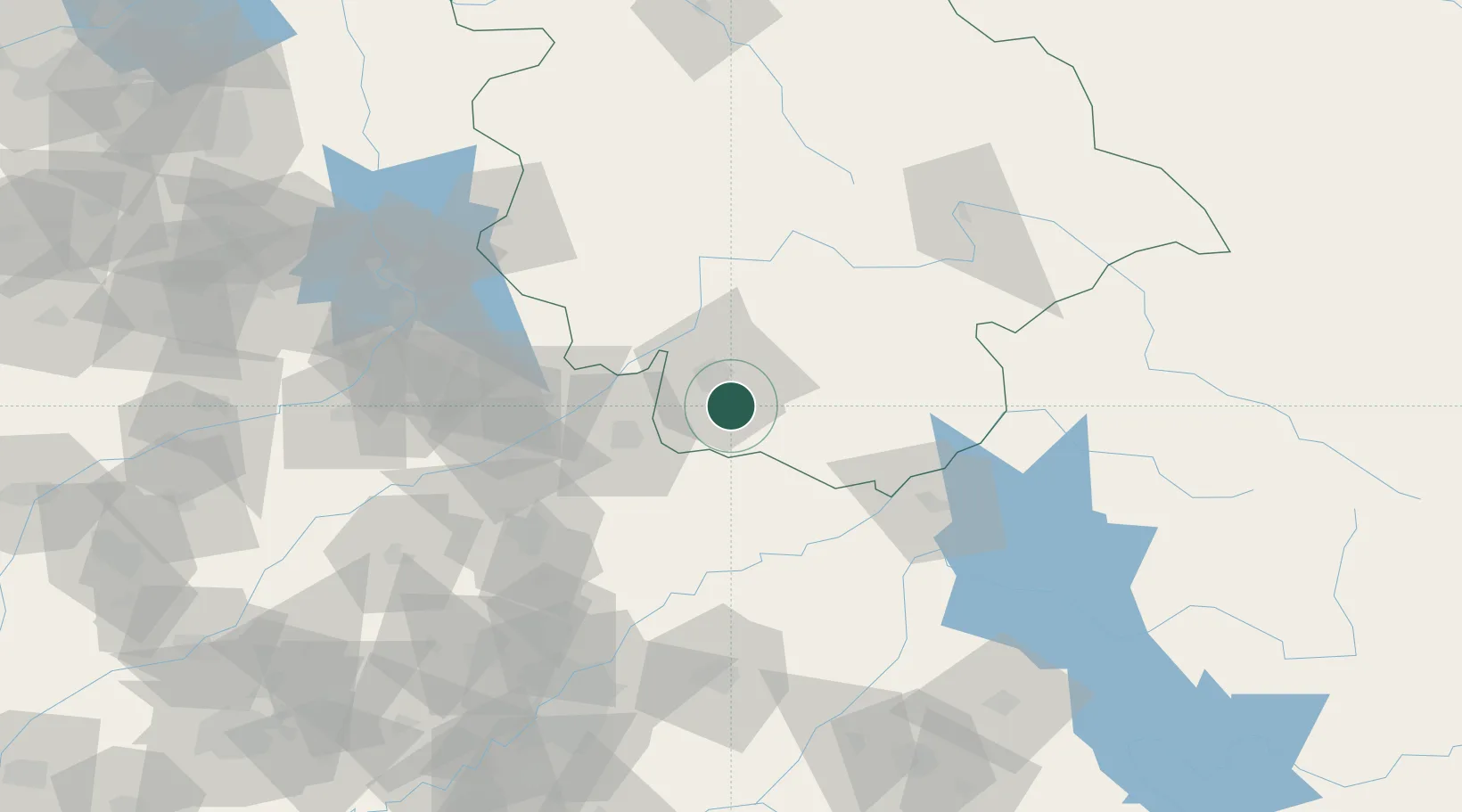
Nearby Logistics Neighbours

Cities
  1. 1Jammu10 km
  2. 2Sialkot51 km
  3. 3Jhelum116 km
  4. 4Talwara119 km
  5. 5Tarn Taran132 km
Nearest neighbours — logibook spatial index (haversine) over the source coordinates
Ports
  1. 1Muhamamad Bin Qasim1144 km
  2. 2Navlakhi1162 km
  3. 3Kandla1163 km
  4. 4Karachi1166 km
  5. 5Mundra1215 km
Nearest neighbours — logibook spatial index (haversine) over the source coordinates
Airports
  1. 1Jammu Airport10 km
  2. 2Udhampur Air Force Station37 km
  3. 3Sialkot International Airport53 km
  4. 4Pathankot Airport81 km
  5. 5Sri Guru Ram Das Ji International Airport103 km
Nearest neighbours — logibook spatial index (haversine) over the source coordinates
Trade Zones
  1. 1Sialkot Export Processing Zone58 km
  2. 2Mirpur Special Economic Zone77 km
  3. 3Gujranwala Export Processing Zone99 km
  4. 4Rachna Industrial Park136 km
  5. 5Allama Iqbal Industrial City Special Economic Zone192 km
Nearest neighbours — logibook spatial index (haversine) over the source coordinates
DatabookThe Record of Consolidated Knowledge
India beyond logistics?
Browse databook

All Sources

LocationsUN/LOCODE
UN/LOCODE — free
Portsthe NGA World Port Index
Public domain (US gov)
AirportsOurAirports
Public domain
Trade Zonesthe World Bank SEZ database
CC BY 4.0
Trade ZonesOpen Zone Map
CC BY
← India locations