Charter City · Pakistan

Allama Iqbal Industrial City Special Economic Zone Under Development
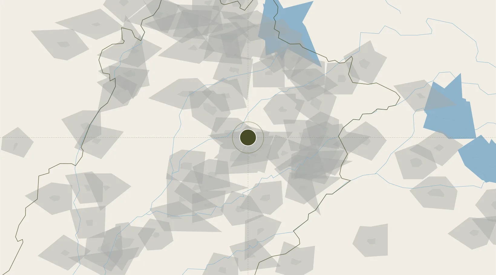
31.6935°, 73.2121°
1,302 ha
Zone area
960.3 km
Nearest port
41.9 km
Nearest airport

Gateway access

Nearest neighbours — logibook spatial index (haversine) over the source coordinates

Zone profile

Zone type
Charter City
Open Zone Map
Region
Punjab
Open Zone Map
Status
Under Development
Open Zone Map
Management
Public
Open Zone Map
Operator
Faisalabad Industrial Estate and Management Company
Open Zone Map
Legal framework
Special Economic Zones Act, 2012
Open Zone Map

Location

Location of ozm-3022
Natural Earth 10m (public domain) · Punjab · ozm-3022 · 31.69, 73.21GoogleOSMYandex

Nearby Logistics Neighbours

Ports
  1. 1Muhamamad Bin Qasim960 km
  2. 2Karachi981 km
  3. 3Kandla1007 km
  4. 4Navlakhi1009 km
  5. 5Mundra1055 km
Nearest neighbours — logibook spatial index (haversine) over the source coordinates
Airports
  1. 1Faisalabad International Airport42 km
  2. 2Mushaf Air Base65 km
  3. 3Allama Iqbal International Airport114 km
  4. 4Rafiqui Air Base137 km
  5. 5Sialkot International Airport143 km
Nearest neighbours — logibook spatial index (haversine) over the source coordinates
Cities
  1. 1Faisalabad24 km
  2. 2Sargodha62 km
  3. 3Lahore102 km
  4. 4Sialkot143 km
  5. 5Jhelum146 km
Nearest neighbours — logibook spatial index (haversine) over the source coordinates
Trade Zones
  1. 1M-3 Industrial City8 km
  2. 2Value Addition City21 km
  3. 3Bhalwal Industiral Estate75 km
  4. 4Rachna Industrial Park86 km
  5. 5Gujranwala Export Processing Zone93 km
Nearest neighbours — logibook spatial index (haversine) over the source coordinates
DatabookThe Record of Consolidated Knowledge
Pakistan beyond logistics?
Browse databook

All Sources

Trade ZonesOpen Zone Map
CC BY
Portsthe NGA World Port Index
Public domain (US gov)
AirportsOurAirports
Public domain
LocationsUN/LOCODE
UN/LOCODE — free
← Pakistan trade zones