Export Processing Zone · Pakistan

Sialkot Export Processing Zone Active
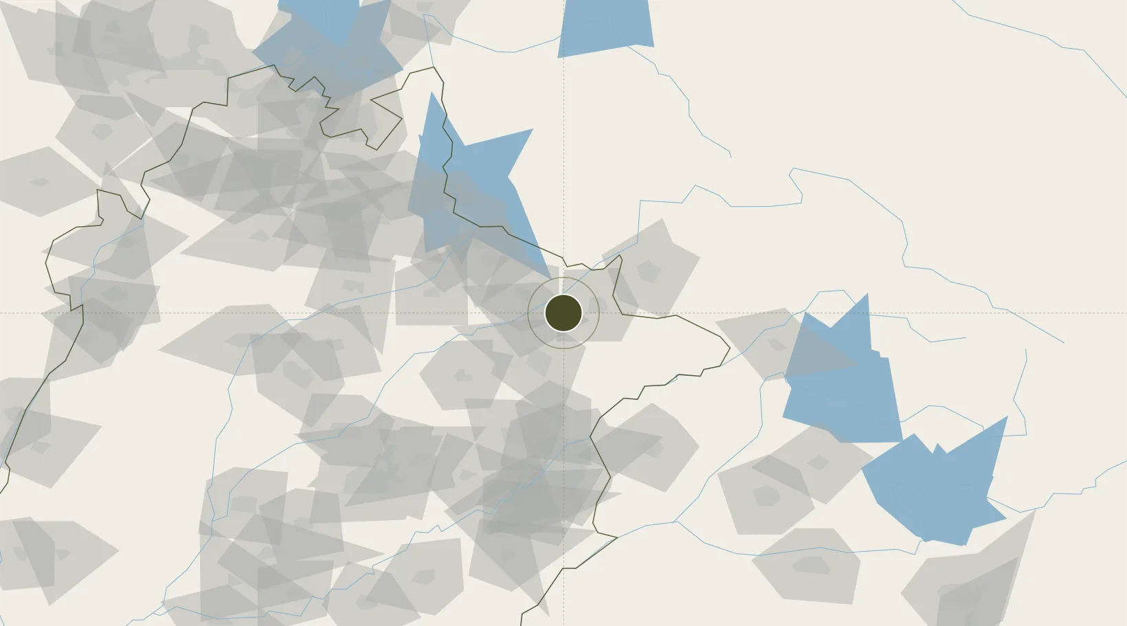
32.4794°, 74.3243°
96 ha
Zone area
1,094.3 km
Nearest port
7.3 km
Nearest airport

Gateway access

Nearest neighbours — logibook spatial index (haversine) over the source coordinates

Zone profile

Zone type
Export Processing Zone
the World Bank SEZ database
Region
Punjab
the World Bank SEZ database
Status
Active
the World Bank SEZ database
Established
2005
the World Bank SEZ database
Management
PPP
the World Bank SEZ database
Operator
EPZA, Ministry of Industries, Punjab Small Industries Corporation (PSIC) and Sialkot Chamber of Commerce and Industry
the World Bank SEZ database
Regulatory authority
Export Processing Zone Authority (EPZA)
the World Bank SEZ database
Legal framework
Export Processing Zone Authority Laws, Rules and Regulations
the World Bank SEZ database

Location

Location of PAK2
Natural Earth 10m (public domain) · Punjab · PAK2 · 32.48, 74.32GoogleOSMYandex

Fiscal & incentives

Corporate tax
32%
the World Bank SEZ database
Tax relief
Reduced fixed-rate at 1%
the World Bank SEZ database
Relief duration
Perpetual
the World Bank SEZ database
VAT
100% exempt from sales tax on inputs goods and utility consumption
the World Bank SEZ database
Import duty (inputs)
100% exempt
the World Bank SEZ database
Import duty (capex)
100% exempt
the World Bank SEZ database
Profit repatriation
No exemption
the World Bank SEZ database
Capital gains
No exemption
the World Bank SEZ database
Withholding tax
No exemption
the World Bank SEZ database
Min. investment
None
the World Bank SEZ database
Min. export
100%
the World Bank SEZ database
Employment incentive
No exemption
the World Bank SEZ database
Developer incentive
No established framework
the World Bank SEZ database

Nearby Logistics Neighbours

Ports
  1. 1Muhamamad Bin Qasim1094 km
  2. 2Karachi1115 km
  3. 3Kandla1125 km
  4. 4Navlakhi1125 km
  5. 5Mundra1176 km
Nearest neighbours — logibook spatial index (haversine) over the source coordinates
Airports
  1. 1Sialkot International Airport7 km
  2. 2Jammu Airport54 km
  3. 3Mangla Airport90 km
  4. 4Udhampur Air Force Station91 km
  5. 5Sri Guru Ram Das Ji International Airport97 km
Nearest neighbours — logibook spatial index (haversine) over the source coordinates
Cities
  1. 1Sialkot8 km
  2. 2Jammu55 km
  3. 3Bari Brahmana58 km
  4. 4Jhelum75 km
  5. 5Lahore113 km
Nearest neighbours — logibook spatial index (haversine) over the source coordinates
Trade Zones
  1. 1Mirpur Special Economic Zone30 km
  2. 2Gujranwala Export Processing Zone46 km
  3. 3Rachna Industrial Park99 km
  4. 4Bhalwal Industiral Estate135 km
  5. 5Allama Iqbal Industrial City Special Economic Zone136 km
Nearest neighbours — logibook spatial index (haversine) over the source coordinates
DatabookThe Record of Consolidated Knowledge
Pakistan beyond logistics?
Browse databook

All Sources

Trade Zonesthe World Bank SEZ database
CC BY 4.0
Portsthe NGA World Port Index
Public domain (US gov)
AirportsOurAirports
Public domain
LocationsUN/LOCODE
UN/LOCODE — free
← Pakistan trade zones