Diversified Zone · Pakistan

M-3 Industrial City Active
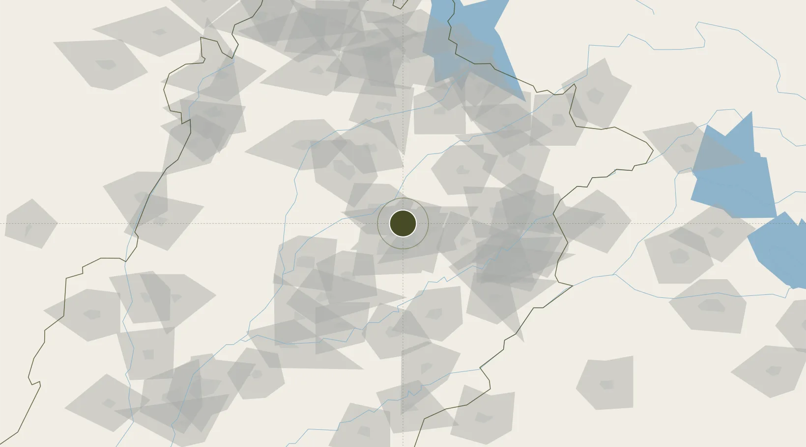
31.6269°, 73.1848°
1,763 ha
Zone area
952.9 km
Nearest port
34.2 km
Nearest airport

Gateway access

Nearest neighbours — logibook spatial index (haversine) over the source coordinates

Zone profile

Zone type
Diversified Zone
Open Zone Map
Region
Punjab
Open Zone Map
Status
Active
Open Zone Map
Management
Public
Open Zone Map
Operator
Faisalabad Industrial Estates Development & Management Company (FIEDMC)
Open Zone Map
Legal framework
Special Economic Zones Act, 2012
Open Zone Map

Location

Location of ozm-3032
Natural Earth 10m (public domain) · Punjab · ozm-3032 · 31.63, 73.18GoogleOSMYandex

Nearby Logistics Neighbours

Ports
  1. 1Muhamamad Bin Qasim953 km
  2. 2Karachi973 km
  3. 3Kandla999 km
  4. 4Navlakhi1001 km
  5. 5Mundra1047 km
Nearest neighbours — logibook spatial index (haversine) over the source coordinates
Airports
  1. 1Faisalabad International Airport34 km
  2. 2Mushaf Air Base68 km
  3. 3Allama Iqbal International Airport116 km
  4. 4Rafiqui Air Base129 km
  5. 5Sialkot International Airport150 km
Nearest neighbours — logibook spatial index (haversine) over the source coordinates
Cities
  1. 1Faisalabad16 km
  2. 2Sargodha68 km
  3. 3Lahore103 km
  4. 4Sialkot149 km
  5. 5Jhelum154 km
Nearest neighbours — logibook spatial index (haversine) over the source coordinates
Trade Zones
  1. 1Allama Iqbal Industrial City Special Economic Zone8 km
  2. 2Value Addition City15 km
  3. 3Bhalwal Industiral Estate81 km
  4. 4Rachna Industrial Park88 km
  5. 5Gujranwala Export Processing Zone99 km
Nearest neighbours — logibook spatial index (haversine) over the source coordinates
DatabookThe Record of Consolidated Knowledge
Pakistan beyond logistics?
Browse databook

All Sources

Trade ZonesOpen Zone Map
CC BY
Portsthe NGA World Port Index
Public domain (US gov)
AirportsOurAirports
Public domain
LocationsUN/LOCODE
UN/LOCODE — free
← Pakistan trade zones