Transport Functions
Rail
Road
Hub Profile
Place type
Provincial seat
Region
Punjab
Population
190,425
Time zone
Asia/Karachi
Elevation
230 m
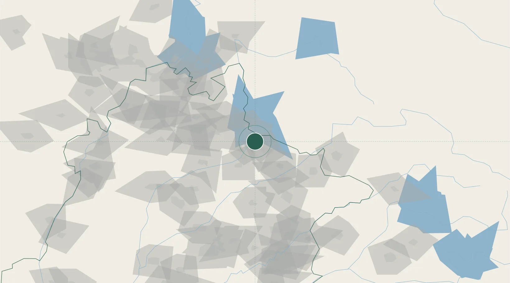
Location
Nearby Logistics Neighbours
Cities
- 1Sialkot81 km
- 2Jammu108 km
- 3Sargodha108 km
- 4Bari Brahmana116 km
- 5Garhi Habibullah Khan166 km
Ports
- 1Muhamamad Bin Qasim1100 km
- 2Karachi1119 km
- 3Kandla1154 km
- 4Navlakhi1155 km
- 5Mundra1202 km
Airports
Trade Zones
DatabookThe Record of Consolidated Knowledge
Pakistan beyond logistics?