Medium airport · Pakistan
Mangla AirportOPMA
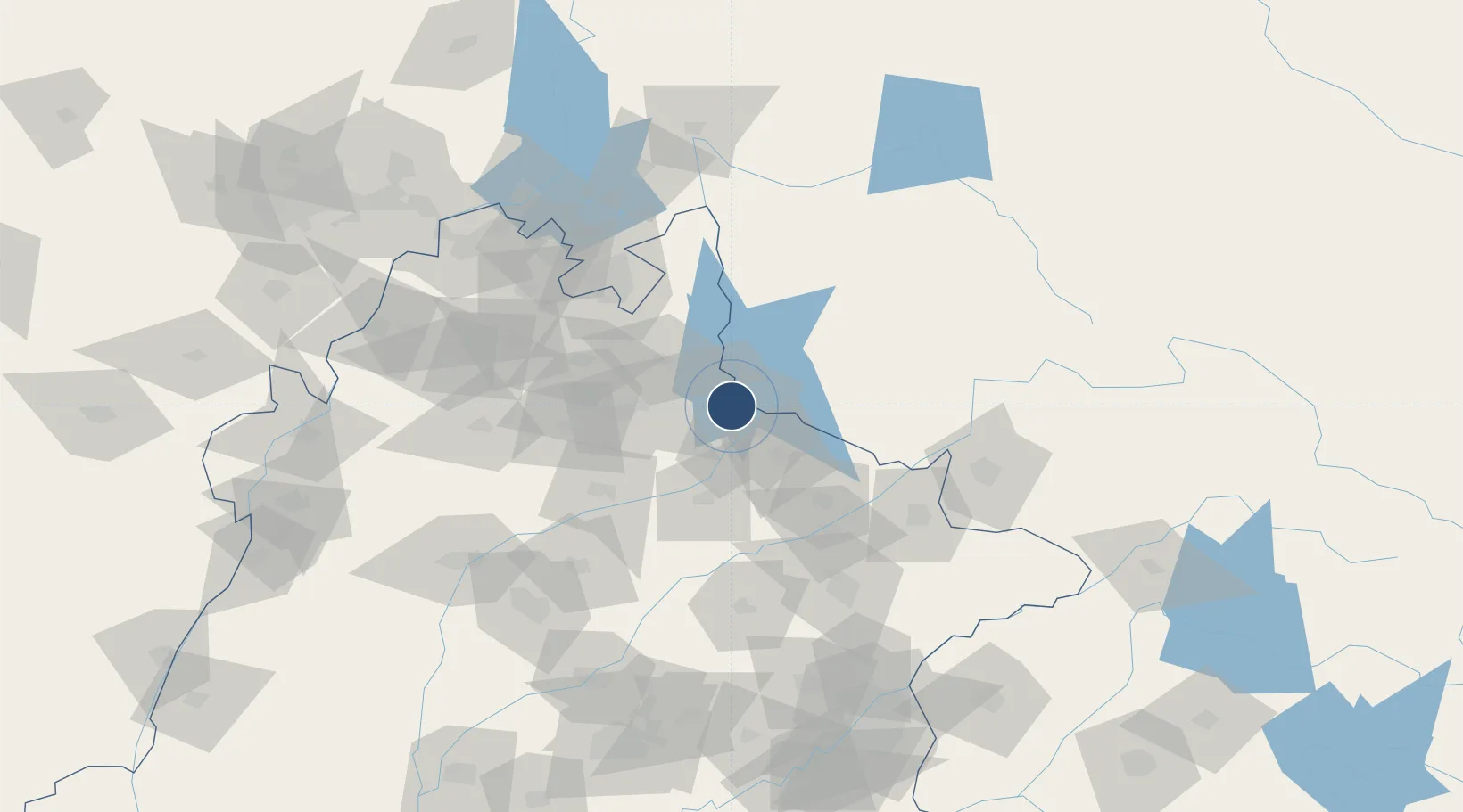
33.0501°, 73.6384°
5,000 ft
Longest runway
1
Runways
902 ft
Elevation
Runway & Layout

Radio Frequencies
Mangla Tower
118.4 MHz
Runways · 1
| Runway | Dimensions | Surface | True heading | Lit |
|---|---|---|---|---|
| 14/32 | 5,000 × 100ft | Asphalt | 136° | — |
Airport Specifications
IATA code
XJM
ICAO code
OPMA
Airport class
Medium airport
Scheduled service
No
Runway surface
Asphalt
Served city
Mangla
Location
Nearby Logistics Neighbours
Airports
Cities
- 1Jhelum16 km
- 2Sialkot96 km
- 3Sargodha113 km
- 4Jammu120 km
- 5Bari Brahmana128 km
Ports
- 1Muhamamad Bin Qasim1105 km
- 2Karachi1124 km
- 3Kandla1163 km
- 4Navlakhi1165 km
- 5Mundra1211 km
DatabookThe Record of Consolidated Knowledge
Pakistan beyond logistics?