UN/LOCODE hub · Pakistan
PKLHE

Lahore

31.4690°, 74.2510°
13,004,135
Population
5
Transport functions

Transport Functions

Rail
Road
Airport
Multimodal
Postal
UN/LOCODE

Hub Profile

Place type
Regional capital
GeoNames
Region
Punjab
GeoNames
Population
13,004,135
GeoNames
Time zone
Asia/Karachi
GeoNames
Elevation
216 m
GeoNames
Logistics facilities
13
UN/LOCODE

Location

Location of PKLHE
Natural Earth 10m (public domain) · Punjab · PKLHE · 31.47, 74.25GoogleOSMYandex

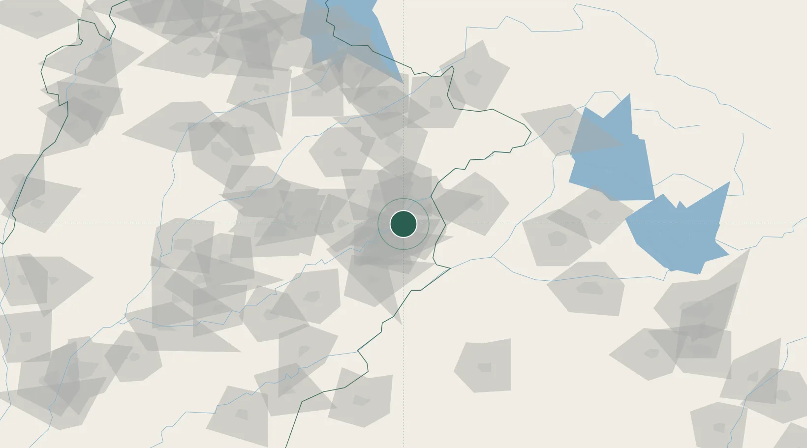
Nearby Logistics Neighbours

Cities
  1. 1Tarn Taran63 km
  2. 2Firozpur70 km
  3. 3Faisalabad105 km
  4. 4Sialkot114 km
  5. 5Bari Brahmana144 km
Nearest neighbours — logibook spatial index (haversine) over the source coordinates
Ports
  1. 1Muhamamad Bin Qasim1006 km
  2. 2Navlakhi1018 km
  3. 3Kandla1019 km
  4. 4Karachi1029 km
  5. 5Mundra1071 km
Nearest neighbours — logibook spatial index (haversine) over the source coordinates
Airports
  1. 1Allama Iqbal International Airport16 km
  2. 2Sri Guru Ram Das Ji International Airport58 km
  3. 3Sialkot International Airport119 km
  4. 4Faisalabad International Airport120 km
  5. 5Bhatinda Air Force Station142 km
Nearest neighbours — logibook spatial index (haversine) over the source coordinates
Trade Zones
  1. 1Rachna Industrial Park20 km
  2. 2Gujranwala Export Processing Zone80 km
  3. 3Value Addition City93 km
  4. 4Allama Iqbal Industrial City Special Economic Zone102 km
  5. 5M-3 Industrial City103 km
Nearest neighbours — logibook spatial index (haversine) over the source coordinates
DatabookThe Record of Consolidated Knowledge
Pakistan beyond logistics?
Browse databook

All Sources

LocationsUN/LOCODE
UN/LOCODE — free
LocationsGeoNames
CC BY 4.0
Portsthe NGA World Port Index
Public domain (US gov)
AirportsOurAirports
Public domain
Trade Zonesthe World Bank SEZ database
CC BY 4.0
Trade ZonesOpen Zone Map
CC BY
← Pakistan locations