Diversified Zone · Pakistan

Rachna Industrial Park Under Development
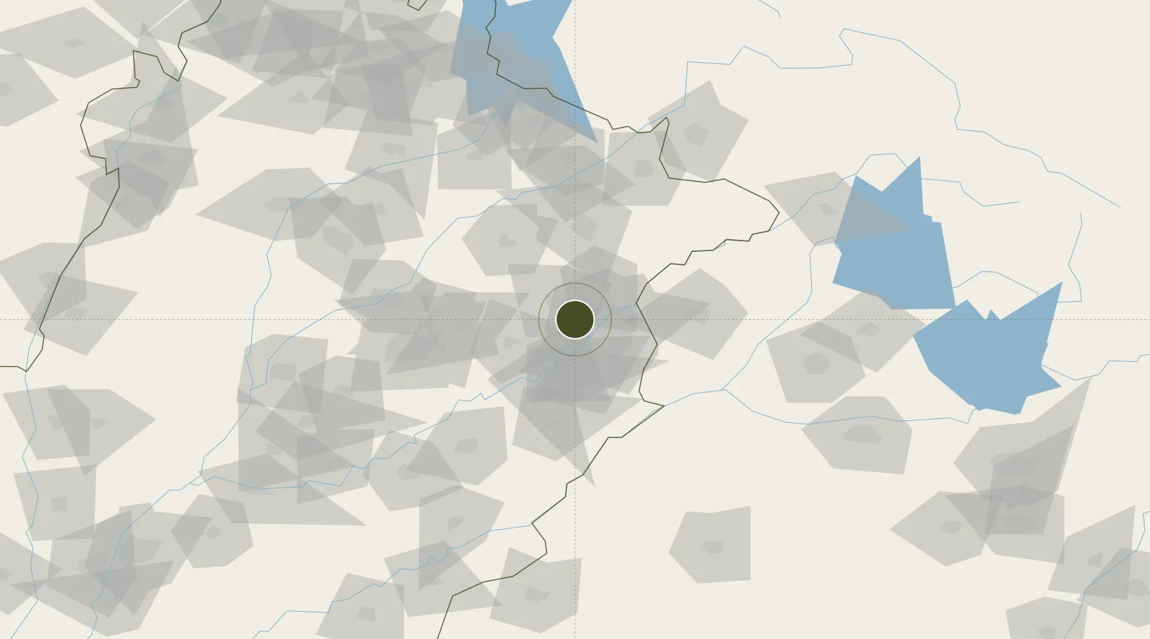
31.6104°, 74.1164°
87 ha
Zone area
1,008.9 km
Nearest port
28.9 km
Nearest airport

Gateway access

Nearest neighbours — logibook spatial index (haversine) over the source coordinates

Zone profile

Zone type
Diversified Zone
Open Zone Map
Region
Punjab
Open Zone Map
Status
Under Development
Open Zone Map
Management
Public
Open Zone Map
Operator
National Industrial Parks Development & Management Company (NIP)
Open Zone Map
Legal framework
Special Economic Zones Act, 2012
Open Zone Map

Location

Location of ozm-3035
Natural Earth 10m (public domain) · Punjab · ozm-3035 · 31.61, 74.12GoogleOSMYandex

Nearby Logistics Neighbours

Ports
  1. 1Muhamamad Bin Qasim1009 km
  2. 2Navlakhi1028 km
  3. 3Kandla1028 km
  4. 4Karachi1031 km
  5. 5Mundra1079 km
Nearest neighbours — logibook spatial index (haversine) over the source coordinates
Airports
  1. 1Allama Iqbal International Airport29 km
  2. 2Sri Guru Ram Das Ji International Airport65 km
  3. 3Sialkot International Airport106 km
  4. 4Faisalabad International Airport110 km
  5. 5Jammu Airport138 km
Nearest neighbours — logibook spatial index (haversine) over the source coordinates
Cities
  1. 1Lahore20 km
  2. 2Tarn Taran78 km
  3. 3Firozpur90 km
  4. 4Faisalabad94 km
  5. 5Sialkot101 km
Nearest neighbours — logibook spatial index (haversine) over the source coordinates
Trade Zones
  1. 1Gujranwala Export Processing Zone62 km
  2. 2Value Addition City81 km
  3. 3Allama Iqbal Industrial City Special Economic Zone86 km
  4. 4M-3 Industrial City88 km
  5. 5Sialkot Export Processing Zone99 km
Nearest neighbours — logibook spatial index (haversine) over the source coordinates
DatabookThe Record of Consolidated Knowledge
Pakistan beyond logistics?
Browse databook

All Sources

Trade ZonesOpen Zone Map
CC BY
Portsthe NGA World Port Index
Public domain (US gov)
AirportsOurAirports
Public domain
LocationsUN/LOCODE
UN/LOCODE — free
← Pakistan trade zones