Diversified Zone · Pakistan

Mirpur Special Economic Zone Under Development
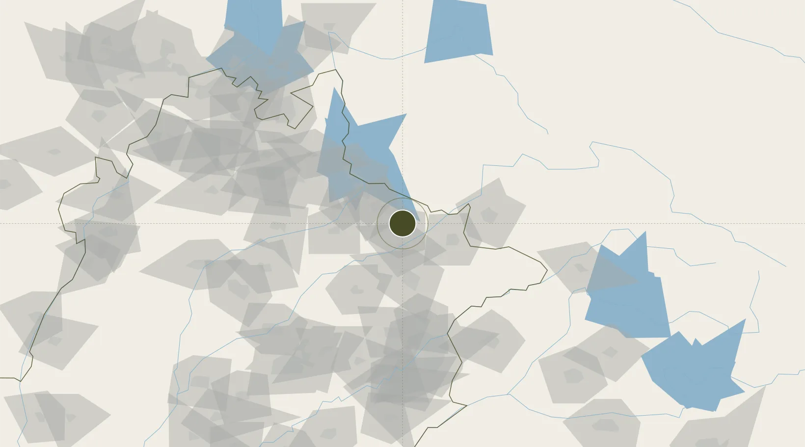
32.6687°, 74.0992°
436 ha
Zone area
1,097.2 km
Nearest port
28.9 km
Nearest airport

Gateway access

Nearest neighbours — logibook spatial index (haversine) over the source coordinates

Zone profile

Zone type
Diversified Zone
Open Zone Map
Region
Punjab
Open Zone Map
Status
Under Development
Open Zone Map
Management
Public
Open Zone Map
Operator
National Industrial Parks Development & Management Company (NIP)
Open Zone Map
Legal framework
Special Economic Zones Act, 2012
Open Zone Map

Location

Location of ozm-3033
Natural Earth 10m (public domain) · Punjab · ozm-3033 · 32.67, 74.10GoogleOSMYandex

Nearby Logistics Neighbours

Ports
  1. 1Muhamamad Bin Qasim1097 km
  2. 2Karachi1117 km
  3. 3Kandla1137 km
  4. 4Navlakhi1138 km
  5. 5Mundra1187 km
Nearest neighbours — logibook spatial index (haversine) over the source coordinates
Airports
  1. 1Sialkot International Airport29 km
  2. 2Mangla Airport60 km
  3. 3Jammu Airport69 km
  4. 4Udhampur Air Force Station102 km
  5. 5Sri Guru Ram Das Ji International Airport125 km
Nearest neighbours — logibook spatial index (haversine) over the source coordinates
Cities
  1. 1Sialkot36 km
  2. 2Jhelum45 km
  3. 3Jammu70 km
  4. 4Bari Brahmana77 km
  5. 5Sargodha119 km
Nearest neighbours — logibook spatial index (haversine) over the source coordinates
Trade Zones
  1. 1Sialkot Export Processing Zone30 km
  2. 2Gujranwala Export Processing Zone57 km
  3. 3Rachna Industrial Park118 km
  4. 4Bhalwal Industiral Estate120 km
  5. 5Allama Iqbal Industrial City Special Economic Zone137 km
Nearest neighbours — logibook spatial index (haversine) over the source coordinates
DatabookThe Record of Consolidated Knowledge
Pakistan beyond logistics?
Browse databook

All Sources

Trade ZonesOpen Zone Map
CC BY
Portsthe NGA World Port Index
Public domain (US gov)
AirportsOurAirports
Public domain
LocationsUN/LOCODE
UN/LOCODE — free
← Pakistan trade zones