Large airport · Pakistan
Allama Iqbal International AirportOPLA
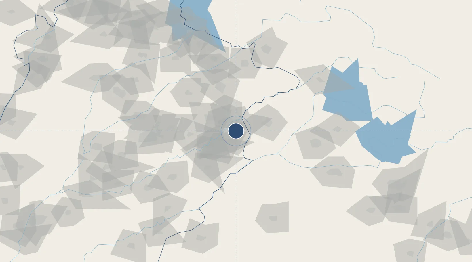
31.5216°, 74.4036°
11,024 ft
Longest runway
2
Runways
712 ft
Elevation
Runway & Layout

Radio Frequencies
ATIS
126.3 MHz
TWR
118.1 MHz
LAHORE TWR
GND
118.4 MHz
LAHORE GND
APP
121.3 MHz
LAHORE APP
Navaids
LA VOR-DME Lahore 112.70 MHz
LA NDB Lahore 268 kHz
Runways · 2
| Runway | Dimensions | Surface | True heading | Lit |
|---|---|---|---|---|
| 18L/36R | 11,024 × 151ft | Concrete | 181° | ✓ |
| 18R/36L | 9,000 × 151ft | Asphalt | 181° | ✓ |
Airport Specifications
IATA code
LHE
ICAO code
OPLA
Airport class
Large airport
Scheduled service
Yes
Runway surface
Concrete
Served city
Lahore
Location
Nearby Logistics Neighbours
Airports
- 1Sri Guru Ram Das Ji International Airport43 km
- 2Sialkot International Airport113 km
- 3Adampur Airport129 km
- 4Faisalabad International Airport135 km
- 5Jammu Airport136 km
Cities
- 1Lahore16 km
- 2Tarn Taran49 km
- 3Firozpur70 km
- 4Sialkot107 km
- 5Faisalabad120 km
Ports
- 1Muhamamad Bin Qasim1020 km
- 2Navlakhi1029 km
- 3Kandla1030 km
- 4Karachi1044 km
- 5Mundra1082 km
Trade Zones
DatabookThe Record of Consolidated Knowledge
Pakistan beyond logistics?