UN/LOCODE hub · India
INIXJ

Jammu

32.7000°, 74.8500°
576,198
Population
5
Transport functions

Transport Functions

Port
Rail
Road
Airport
Multimodal
UN/LOCODE

Hub Profile

Place type
Regional capital
GeoNames
Region
Jammu and Kashmir
GeoNames
Population
576,198
GeoNames
Time zone
Asia/Kolkata
GeoNames
Elevation
357 m
GeoNames

Location

Location of INIXJ
Natural Earth 10m (public domain) · Jammu and Kashmir · INIXJ · 32.70, 74.85GoogleOSMYandex

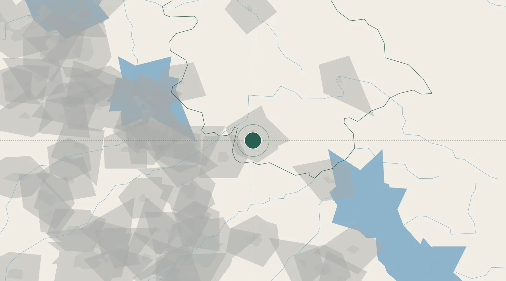
Nearby Logistics Neighbours

Cities
  1. 1Bari Brahmana10 km
  2. 2Sialkot48 km
  3. 3Jhelum108 km
  4. 4Talwara128 km
  5. 5Tarn Taran139 km
Nearest neighbours — logibook spatial index (haversine) over the source coordinates
Ports
  1. 1Muhamamad Bin Qasim1145 km
  2. 2Navlakhi1166 km
  3. 3Karachi1167 km
  4. 4Kandla1167 km
  5. 5Mundra1218 km
Nearest neighbours — logibook spatial index (haversine) over the source coordinates
Airports
  1. 1Jammu Airport2 km
  2. 2Udhampur Air Force Station36 km
  3. 3Sialkot International Airport49 km
  4. 4Pathankot Airport90 km
  5. 5Sri Guru Ram Das Ji International Airport110 km
Nearest neighbours — logibook spatial index (haversine) over the source coordinates
Trade Zones
  1. 1Sialkot Export Processing Zone55 km
  2. 2Mirpur Special Economic Zone70 km
  3. 3Gujranwala Export Processing Zone98 km
  4. 4Rachna Industrial Park140 km
  5. 5Bhalwal Industiral Estate188 km
Nearest neighbours — logibook spatial index (haversine) over the source coordinates
DatabookThe Record of Consolidated Knowledge
India beyond logistics?
Browse databook

All Sources

LocationsUN/LOCODE
UN/LOCODE — free
LocationsGeoNames
CC BY 4.0
Portsthe NGA World Port Index
Public domain (US gov)
AirportsOurAirports
Public domain
Trade Zonesthe World Bank SEZ database
CC BY 4.0
Trade ZonesOpen Zone Map
CC BY
← India locations