Medium airport · India
Jammu AirportVIJU
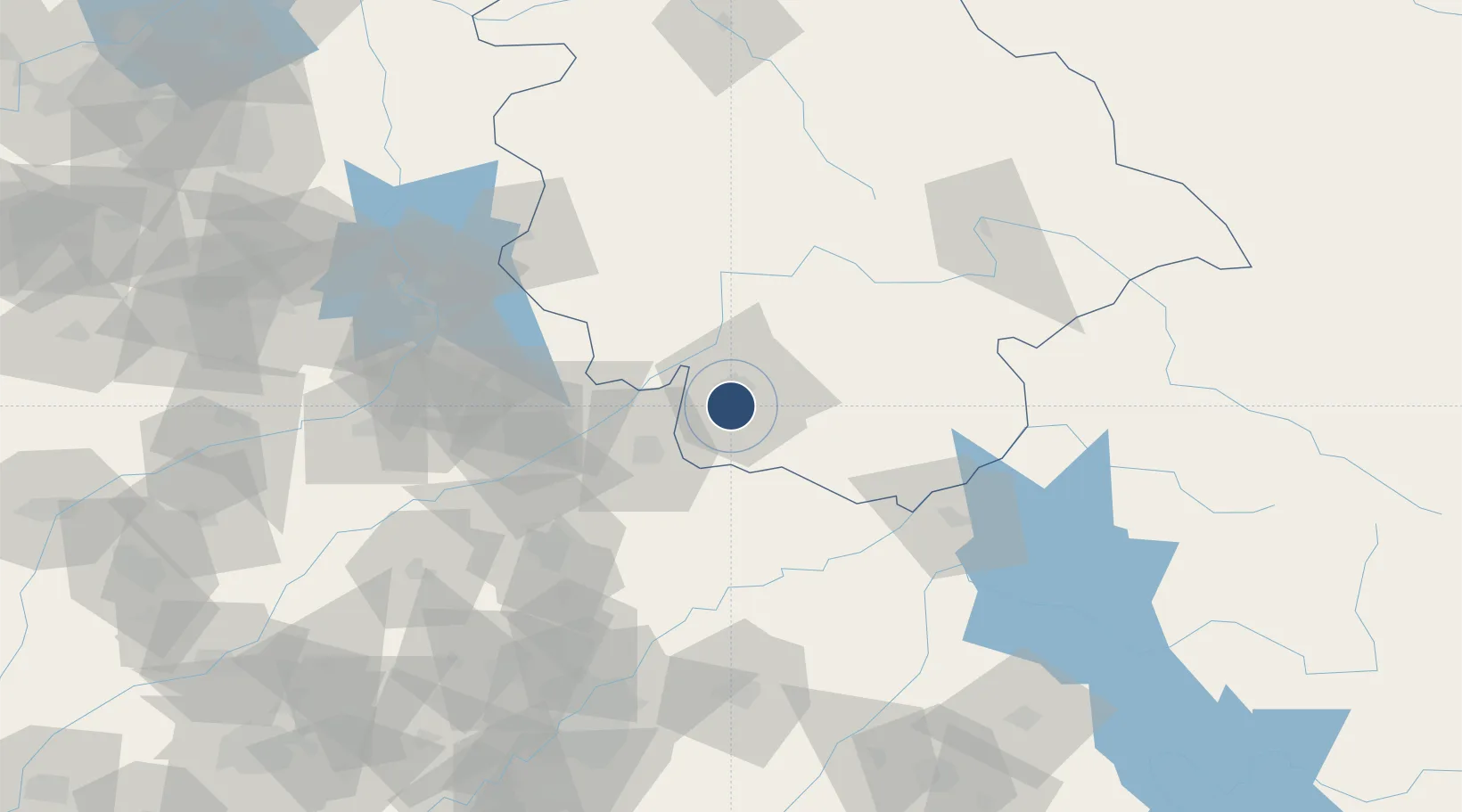
32.6888°, 74.8382°
6,700 ft
Longest runway
1
Runways
996 ft
Elevation
Runway & Layout

Radio Frequencies
TWR
122.85 MHz
JAMMU
TWR STD BY
122.65 MHz
Navaids
JA NDB Jammu 415 kHz
JJU VOR-DME Jammu 113.30 MHz
Runways · 1
| Runway | Dimensions | Surface | True heading | Lit |
|---|---|---|---|---|
| 18/36 | 6,700 × 148ft | Asphalt | 177° | ✓ |
Airport Specifications
IATA code
IXJ
ICAO code
VIJU
Airport class
Medium airport
Scheduled service
Yes
Runway surface
Asphalt
Served city
Jammu
Location
Nearby Logistics Neighbours
Airports
- 1Udhampur Air Force Station38 km
- 2Sialkot International Airport48 km
- 3Pathankot Airport90 km
- 4Sri Guru Ram Das Ji International Airport109 km
- 5Mangla Airport119 km
Cities
- 1Jammu2 km
- 2Bari Brahmana10 km
- 3Sialkot47 km
- 4Jhelum107 km
- 5Talwara128 km
Ports
- 1Muhamamad Bin Qasim1143 km
- 2Navlakhi1165 km
- 3Karachi1165 km
- 4Kandla1165 km
- 5Mundra1217 km
Trade Zones
DatabookThe Record of Consolidated Knowledge
India beyond logistics?