Large airport · India

Sri Guru Ram Das Ji International AirportVIAR
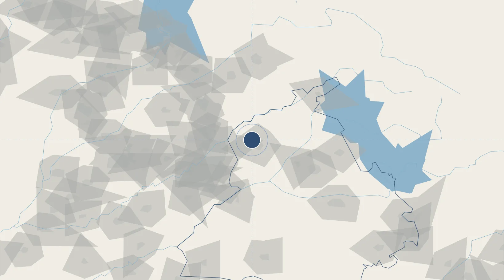
31.7096°, 74.7973°
12,000 ft
Longest runway
1
Runways
756 ft
Elevation

Runway & Layout

Sri Guru Ram Das Ji International Airport runway & taxiway layout
Runway & taxiway layout — OpenStreetMap (ODbL) / OurAirports

Radio Frequencies

TWR
124.35 MHz
APP
119.7 MHz
OurAirports

Navaids

AAR VOR-DME Amritsar 115.50 MHz
AR NDB Amritsar 351 kHz
OurAirports

Runways · 1

RunwayDimensions SurfaceTrue headingLit
16/34 12,000 × 148ft Asphalt 158°
OurAirports

Airport Specifications

IATA code
ATQ
OurAirports
ICAO code
VIAR
OurAirports
Airport class
Large airport
OurAirports
Scheduled service
Yes
OurAirports
Runway surface
Asphalt
OurAirports
Served city
Amritsar
OurAirports

Location

Location of VIAR
Natural Earth 10m (public domain) · Punjab · VIAR · 31.71, 74.80GoogleOSMYandex

Nearby Logistics Neighbours

Airports
  1. 1Allama Iqbal International Airport43 km
  2. 2Adampur Airport96 km
  3. 3Pathankot Airport98 km
  4. 4Sialkot International Airport101 km
  5. 5Jammu Airport109 km
Nearest neighbours — logibook spatial index (haversine) over the source coordinates
Cities
  1. 1Tarn Taran31 km
  2. 2Lahore58 km
  3. 3Firozpur90 km
  4. 4Sialkot93 km
  5. 5Bari Brahmana103 km
Nearest neighbours — logibook spatial index (haversine) over the source coordinates
Ports
  1. 1Muhamamad Bin Qasim1062 km
  2. 2Navlakhi1064 km
  3. 3Kandla1065 km
  4. 4Karachi1085 km
  5. 5Mundra1118 km
Nearest neighbours — logibook spatial index (haversine) over the source coordinates
Trade Zones
  1. 1Rachna Industrial Park65 km
  2. 2Gujranwala Export Processing Zone88 km
  3. 3Sialkot Export Processing Zone97 km
  4. 4Mirpur Special Economic Zone125 km
  5. 5Value Addition City146 km
Nearest neighbours — logibook spatial index (haversine) over the source coordinates
DatabookThe Record of Consolidated Knowledge
India beyond logistics?
Browse databook

All Sources

AirportsOurAirports
Public domain
Portsthe NGA World Port Index
Public domain (US gov)
LocationsUN/LOCODE
UN/LOCODE — free
Trade Zonesthe World Bank SEZ database
CC BY 4.0
Trade ZonesOpen Zone Map
CC BY
InfrastructureOpenStreetMap
ODbL 1.0
← India airports