UN/LOCODE hub · Pakistan
PKSKT

Sialkot

32.4814°, 74.4058°
911,817
Population
4
Transport functions

Transport Functions

Rail
Road
Airport
Multimodal
UN/LOCODE

Hub Profile

Place type
Provincial seat
GeoNames
Region
Punjab
GeoNames
Population
911,817
GeoNames
Time zone
Asia/Karachi
GeoNames
Elevation
250 m
GeoNames
Logistics facilities
6
UN/LOCODE

Location

Location of PKSKT
Natural Earth 10m (public domain) · Punjab · PKSKT · 32.48, 74.41GoogleOSMYandex

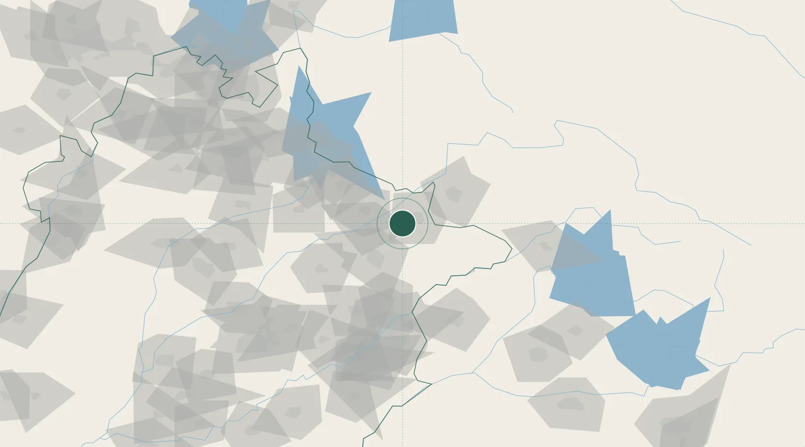
Nearby Logistics Neighbours

Cities
  1. 1Jammu48 km
  2. 2Bari Brahmana51 km
  3. 3Jhelum81 km
  4. 4Lahore114 km
  5. 5Tarn Taran124 km
Nearest neighbours — logibook spatial index (haversine) over the source coordinates
Ports
  1. 1Muhamamad Bin Qasim1099 km
  2. 2Karachi1121 km
  3. 3Kandla1128 km
  4. 4Navlakhi1128 km
  5. 5Mundra1179 km
Nearest neighbours — logibook spatial index (haversine) over the source coordinates
Airports
  1. 1Sialkot International Airport7 km
  2. 2Jammu Airport47 km
  3. 3Udhampur Air Force Station84 km
  4. 4Sri Guru Ram Das Ji International Airport93 km
  5. 5Mangla Airport96 km
Nearest neighbours — logibook spatial index (haversine) over the source coordinates
Trade Zones
  1. 1Sialkot Export Processing Zone8 km
  2. 2Mirpur Special Economic Zone36 km
  3. 3Gujranwala Export Processing Zone51 km
  4. 4Rachna Industrial Park101 km
  5. 5Allama Iqbal Industrial City Special Economic Zone143 km
Nearest neighbours — logibook spatial index (haversine) over the source coordinates
DatabookThe Record of Consolidated Knowledge
Pakistan beyond logistics?
Browse databook

All Sources

LocationsUN/LOCODE
UN/LOCODE — free
LocationsGeoNames
CC BY 4.0
Portsthe NGA World Port Index
Public domain (US gov)
AirportsOurAirports
Public domain
Trade Zonesthe World Bank SEZ database
CC BY 4.0
Trade ZonesOpen Zone Map
CC BY
← Pakistan locations