Transport Functions
Rail
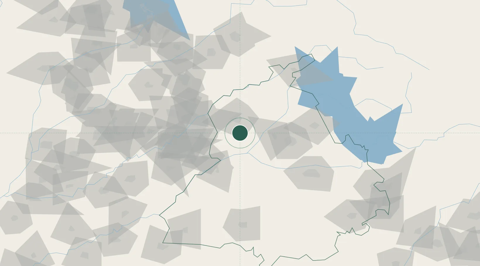
Hub Profile
Place type
Populated place
Region
Punjab
Population
66,847
Time zone
Asia/Kolkata
Elevation
227 m
Location
Nearby Logistics Neighbours
Cities
- 1Lahore63 km
- 2Firozpur67 km
- 3Hoshiarpur95 km
- 4Talwara105 km
- 5PSWC ICD/Dhandari Kalan112 km
Ports
- 1Navlakhi1042 km
- 2Kandla1045 km
- 3Muhamamad Bin Qasim1050 km
- 4Karachi1074 km
- 5Mundra1098 km
Airports
Trade Zones
- 1Rachna Industrial Park78 km
- 2Gujranwala Export Processing Zone115 km
- 3Sialkot Export Processing Zone127 km
- 4Mirpur Special Economic Zone156 km
- 5Value Addition City156 km
DatabookThe Record of Consolidated Knowledge
India beyond logistics?