Large airport · Pakistan

Faisalabad International AirportOPFA
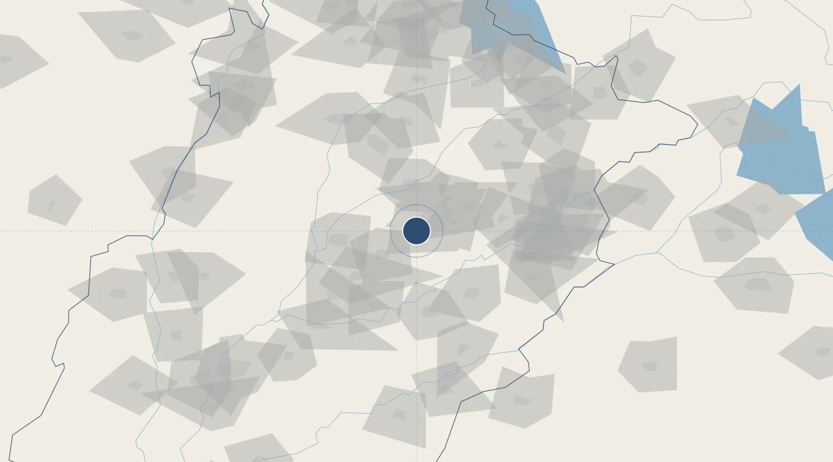
31.3649°, 72.9953°
9,324 ft
Longest runway
2
Runways
591 ft
Elevation

Runway & Layout

Faisalabad International Airport runway & taxiway layout
Runway & taxiway layout — OpenStreetMap (ODbL) / OurAirports

Radio Frequencies

TWR
127.3 MHz
GND
121.8 MHz
TWR
OurAirports

Navaids

FA NDB Faisalabad 212 kHz
OurAirports

Runways · 2

RunwayDimensions SurfaceTrue headingLit
03R/21L 9,324 × 150ft ASPH 036°
03L/21R 8,999 × 98ft CONC
OurAirports

Airport Specifications

IATA code
LYP
OurAirports
ICAO code
OPFA
OurAirports
Airport class
Large airport
OurAirports
Scheduled service
Yes
OurAirports
Runway surface
ASPH
OurAirports
Served city
Faisalabad
OurAirports

Location

Location of OPFA
Natural Earth 10m (public domain) · Punjab · OPFA · 31.36, 73.00GoogleOSMYandex

Nearby Logistics Neighbours

Airports
  1. 1Mushaf Air Base82 km
  2. 2Rafiqui Air Base96 km
  3. 3Allama Iqbal International Airport135 km
  4. 4Sri Guru Ram Das Ji International Airport175 km
  5. 5Sialkot International Airport183 km
Nearest neighbours — logibook spatial index (haversine) over the source coordinates
Cities
  1. 1Faisalabad19 km
  2. 2Sargodha94 km
  3. 3Lahore120 km
  4. 4Firozpur161 km
  5. 5Sialkot182 km
Nearest neighbours — logibook spatial index (haversine) over the source coordinates
Ports
  1. 1Muhamamad Bin Qasim919 km
  2. 2Karachi940 km
  3. 3Kandla966 km
  4. 4Navlakhi968 km
  5. 5Mundra1014 km
Nearest neighbours — logibook spatial index (haversine) over the source coordinates
Trade Zones
  1. 1Value Addition City31 km
  2. 2M-3 Industrial City34 km
  3. 3Allama Iqbal Industrial City Special Economic Zone42 km
  4. 4Bhalwal Industiral Estate106 km
  5. 5Rachna Industrial Park110 km
Nearest neighbours — logibook spatial index (haversine) over the source coordinates
DatabookThe Record of Consolidated Knowledge
Pakistan beyond logistics?
Browse databook

All Sources

AirportsOurAirports
Public domain
Portsthe NGA World Port Index
Public domain (US gov)
LocationsUN/LOCODE
UN/LOCODE — free
Trade Zonesthe World Bank SEZ database
CC BY 4.0
Trade ZonesOpen Zone Map
CC BY
InfrastructureOpenStreetMap
ODbL 1.0
← Pakistan airports