Transport Functions
Multimodal
Hub Profile
Place type
Populated place
Region
Punjab
Population
110,313
Time zone
Asia/Kolkata
Elevation
200 m
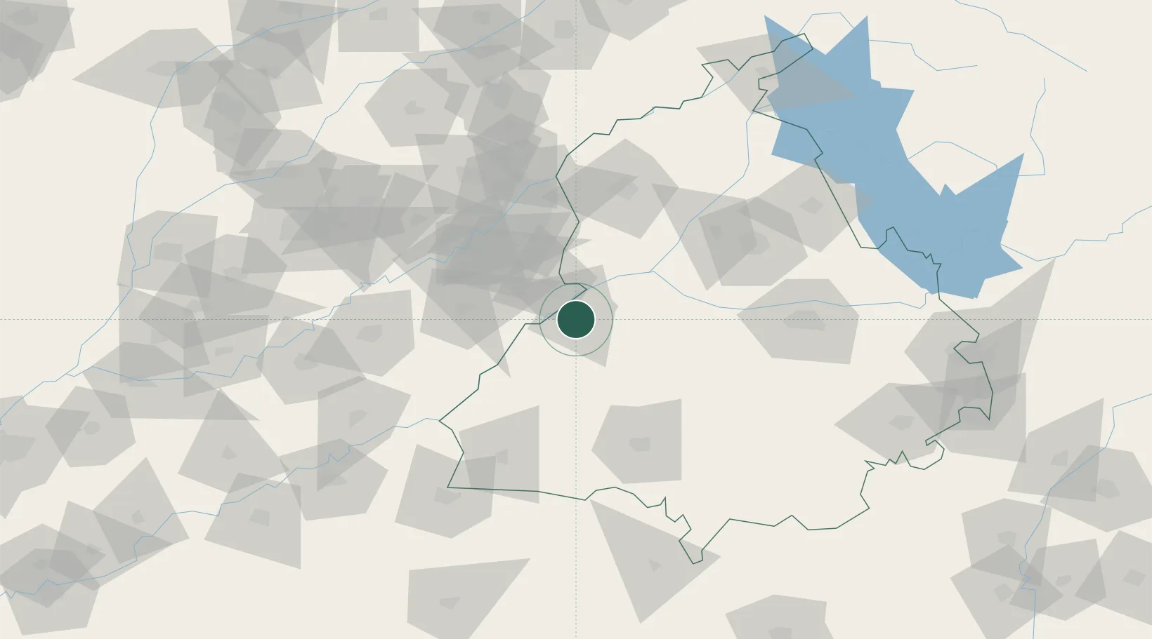
Location
Nearby Logistics Neighbours
Cities
- 1Tarn Taran67 km
- 2Lahore70 km
- 3Barnala109 km
- 4Adani Icd/Kila Raipur121 km
- 5PSWC ICD/Dhandari Kalan121 km
Ports
- 1Navlakhi976 km
- 2Kandla978 km
- 3Muhamamad Bin Qasim987 km
- 4Karachi1012 km
- 5Mundra1032 km
Airports
Trade Zones
DatabookThe Record of Consolidated Knowledge
India beyond logistics?