Diversified Zone · Pakistan

Value Addition City Active
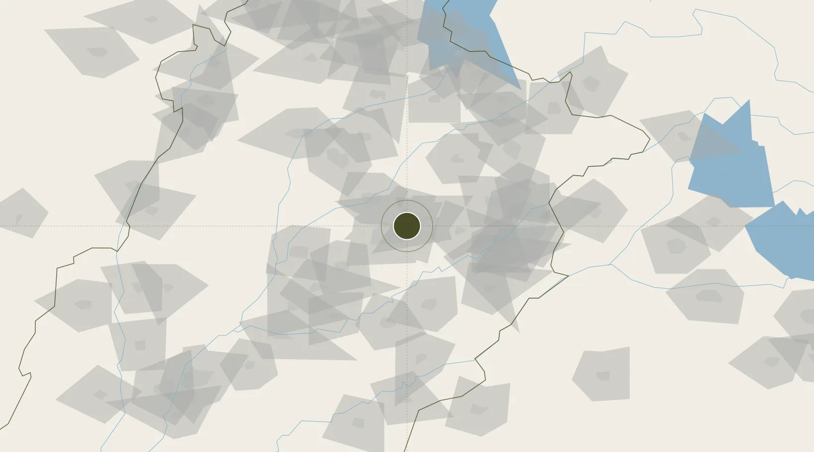
31.5138°, 73.2685°
87 ha
Zone area
948.1 km
Nearest port
30.8 km
Nearest airport

Gateway access

Nearest neighbours — logibook spatial index (haversine) over the source coordinates

Zone profile

Zone type
Diversified Zone
Open Zone Map
Region
Punjab
Open Zone Map
Status
Active
Open Zone Map
Management
Public
Open Zone Map
Operator
Faisalabad Industrial Estates Development & Management Company (FIEDMC)
Open Zone Map
Legal framework
Special Economic Zones Act, 2012
Open Zone Map

Location

Location of ozm-3038
Natural Earth 10m (public domain) · Punjab · ozm-3038 · 31.51, 73.27GoogleOSMYandex

Nearby Logistics Neighbours

Ports
  1. 1Muhamamad Bin Qasim948 km
  2. 2Karachi969 km
  3. 3Kandla990 km
  4. 4Navlakhi991 km
  5. 5Mundra1038 km
Nearest neighbours — logibook spatial index (haversine) over the source coordinates
Airports
  1. 1Faisalabad International Airport31 km
  2. 2Mushaf Air Base82 km
  3. 3Allama Iqbal International Airport108 km
  4. 4Rafiqui Air Base126 km
  5. 5Sri Guru Ram Das Ji International Airport146 km
Nearest neighbours — logibook spatial index (haversine) over the source coordinates
Cities
  1. 1Faisalabad13 km
  2. 2Sargodha83 km
  3. 3Lahore93 km
  4. 4Firozpur143 km
  5. 5Sialkot152 km
Nearest neighbours — logibook spatial index (haversine) over the source coordinates
Trade Zones
  1. 1M-3 Industrial City15 km
  2. 2Allama Iqbal Industrial City Special Economic Zone21 km
  3. 3Rachna Industrial Park81 km
  4. 4Bhalwal Industiral Estate95 km
  5. 5Gujranwala Export Processing Zone101 km
Nearest neighbours — logibook spatial index (haversine) over the source coordinates
DatabookThe Record of Consolidated Knowledge
Pakistan beyond logistics?
Browse databook

All Sources

Trade ZonesOpen Zone Map
CC BY
Portsthe NGA World Port Index
Public domain (US gov)
AirportsOurAirports
Public domain
LocationsUN/LOCODE
UN/LOCODE — free
← Pakistan trade zones