UN/LOCODE hub · Pakistan
PKLYP
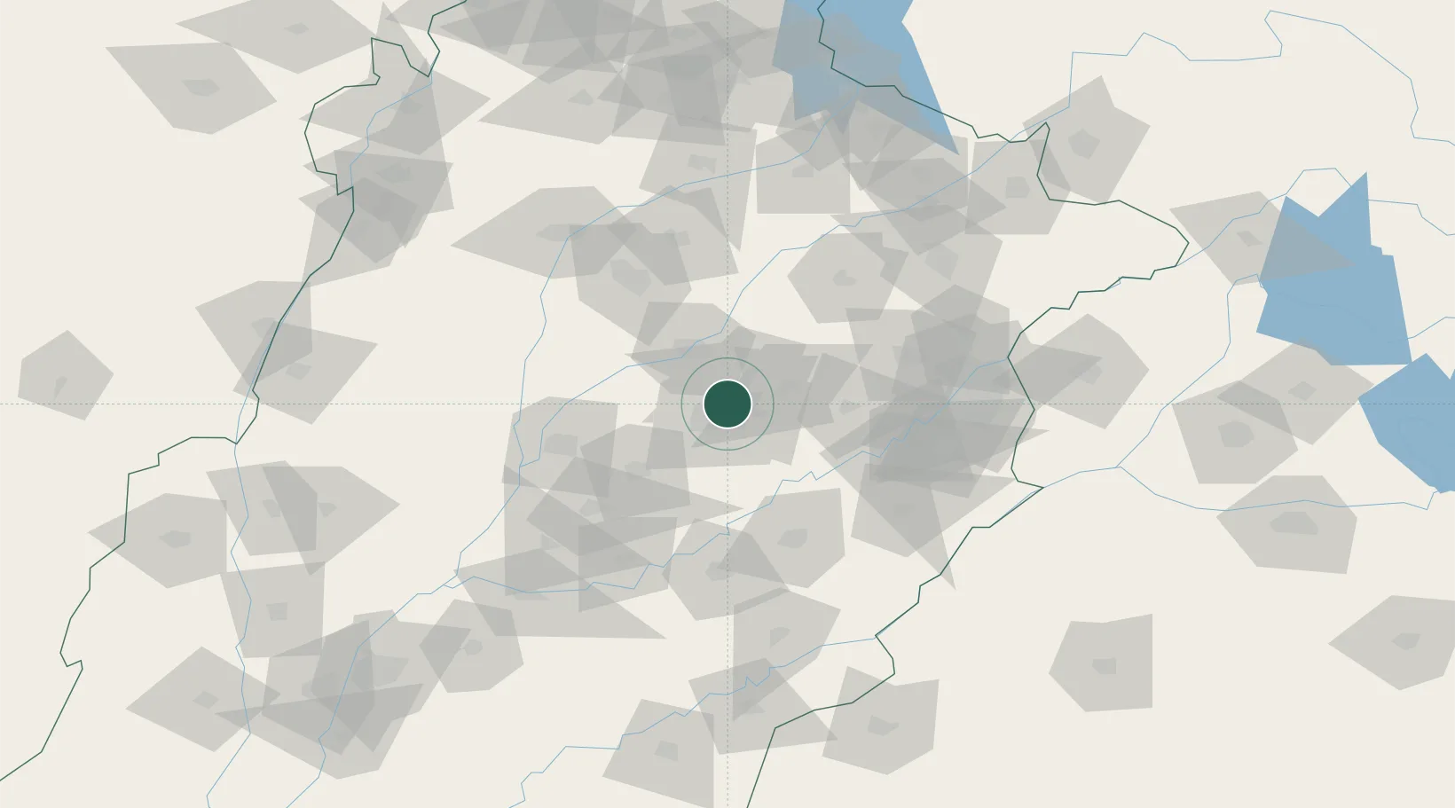
Faisalabad
31.4864°, 73.1403°
3,800,193
Population
4
Transport functions
Transport Functions
Rail
Road
Airport
Multimodal
Hub Profile
Place type
Provincial seat
Region
Punjab
Population
3,800,193
Time zone
Asia/Karachi
Elevation
186 m
Logistics facilities
9
Location
Nearby Logistics Neighbours
Cities
- 1Sargodha82 km
- 2Lahore105 km
- 3Firozpur153 km
- 4Sialkot163 km
- 5Tarn Taran169 km
Ports
- 1Muhamamad Bin Qasim938 km
- 2Karachi959 km
- 3Kandla983 km
- 4Navlakhi985 km
- 5Mundra1031 km
Airports
Trade Zones
DatabookThe Record of Consolidated Knowledge
Pakistan beyond logistics?