Transport Functions
Port
Rail
Road
Airport
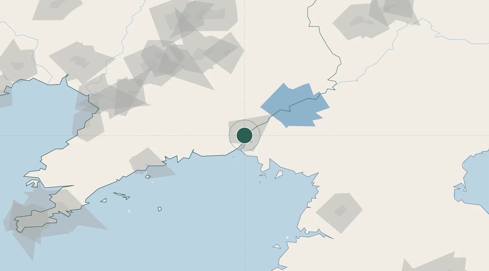
Hub Profile
Place type
Populated place
Region
Liaoning
Population
631,973
Time zone
Asia/Shanghai
Elevation
10 m
Logistics facilities
2
Location
Nearby Logistics Neighbours
Cities
- 1Dandong3 km
- 2Donggang34 km
- 3Changdianhekou49 km
- 4Garberville50 km
- 5Dalu Island71 km
Airports
- 1Dandong Langtou International Airport13 km
- 2Kwaksan Air Base75 km
- 3Pyongyang Sunan International Airport148 km
- 4Sunchon Air Base151 km
- 5Pukchang Air Base151 km
DatabookThe Record of Consolidated Knowledge
China beyond logistics?