Transport Functions
Port
Hub Profile
Place type
Populated place
Region
Liaoning
Time zone
Asia/Shanghai
Elevation
6 m
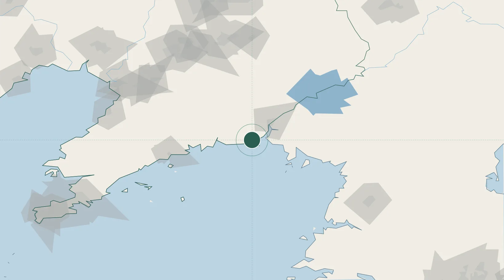
Location
Nearby Logistics Neighbours
Cities
- 1Dandong34 km
- 2Dandong34 km
- 3Garberville37 km
- 4Dalu Island39 km
- 5Samcha do73 km
Airports
DatabookThe Record of Consolidated Knowledge
China beyond logistics?