Medium airport · North Korea

Kwaksan Air BaseKP-0012
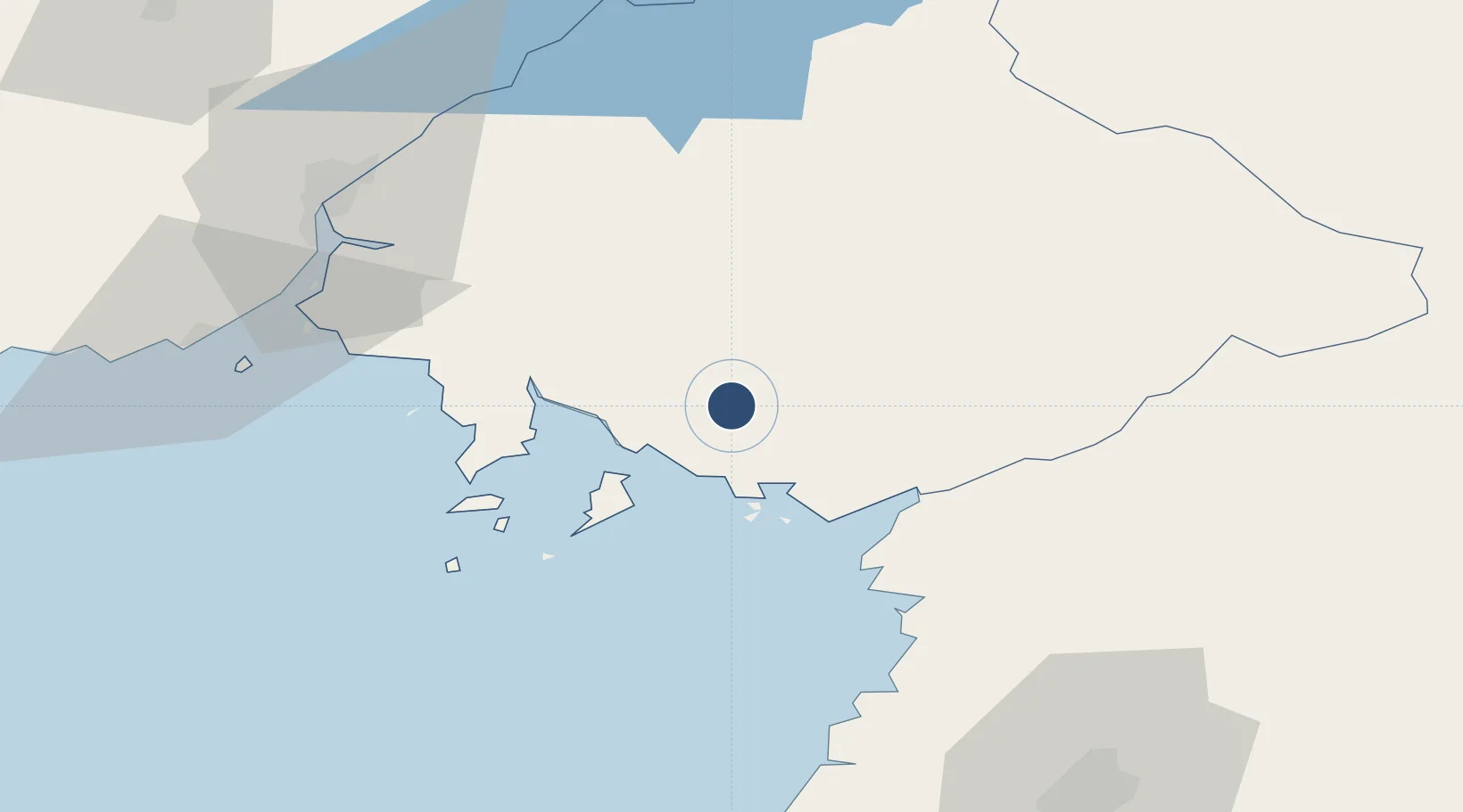
39.7312°, 125.1102°
2,340 ft
Longest runway
1
Runways
62 ft
Elevation

Runway & Layout

Kwaksan Air Base runway & taxiway layout
Runway & taxiway layout — OpenStreetMap (ODbL) / OurAirports

Runways · 1

RunwayDimensions SurfaceTrue headingLit
04/22 2,340 × 92ft Asphalt 033°
OurAirports

Airport Specifications

Airport class
Medium airport
OurAirports
Scheduled service
No
OurAirports
Runway surface
Asphalt
OurAirports
Served city
Kwaksan
OurAirports

Location

Location of KP-0012
Natural Earth 10m (public domain) · P'yŏngan-bukto · KP-0012 · 39.73, 125.11GoogleOSMYandex

Nearby Logistics Neighbours

Airports
  1. 1Pyongyang Sunan International Airport74 km
  2. 2Sunchon Air Base76 km
  3. 3Pukchang Air Base77 km
  4. 4Dandong Langtou International Airport78 km
  5. 5Uthachi Highway Strip Airport110 km
Nearest neighbours — logibook spatial index (haversine) over the source coordinates
Cities
  1. 1Samcha do50 km
  2. 2Dandong75 km
  3. 3Dandong78 km
  4. 4Changdianhekou81 km
  5. 5Donggang85 km
Nearest neighbours — logibook spatial index (haversine) over the source coordinates
Ports
  1. 1Dandong83 km
  2. 2Nampo116 km
  3. 3Kyomip'o119 km
  4. 4Haeju Hang199 km
  5. 5Wonsan211 km
Nearest neighbours — logibook spatial index (haversine) over the source coordinates
DatabookThe Record of Consolidated Knowledge
North Korea beyond logistics?
Browse databook

All Sources

AirportsOurAirports
Public domain
Portsthe NGA World Port Index
Public domain (US gov)
LocationsUN/LOCODE
UN/LOCODE — free
Trade Zonesthe World Bank SEZ database
CC BY 4.0
Trade ZonesOpen Zone Map
CC BY
InfrastructureOpenStreetMap
ODbL 1.0
← North Korea airports