Export Processing Zone · Nigeria
Imo Guangdong Free Trade Zone Inactive
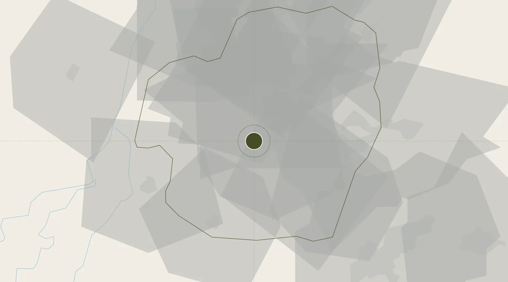
5.4994°, 7.0030°
1,399 ha
Zone area
81.5 km
Nearest port
23.9 km
Nearest airport
Gateway access
Zone profile
Zone type
Export Processing Zone
Region
Imo
Status
Inactive
Management
Public-Private Partnership
Operator
Imo State, Guangdong Guangxin International Group
Legal framework
Section 10 (4) of the Nigeria Export Processing Zones Act No 63 of 1992
Location
Nearby Logistics Neighbours
Ports
- 1Port Harcourt82 km
- 2Okrika88 km
- 3Onne92 km
- 4Bonny118 km
- 5Warri141 km
Airports
Cities
- 1Awka24 km
- 2Umuoja Obosi70 km
- 3Asaba81 km
- 4Port Harcourt82 km
- 5Onne93 km
DatabookThe Record of Consolidated Knowledge
Nigeria beyond logistics?