Transport Functions
Multimodal
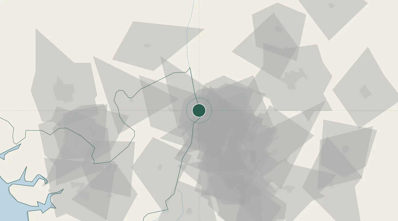
Hub Profile
Place type
Regional capital
Region
Delta
Population
73,374
Time zone
Africa/Lagos
Elevation
46 m
Location
Nearby Logistics Neighbours
Cities
- 1Umuoja Obosi12 km
- 2Awka77 km
- 3Auchi112 km
- 4Amukpe120 km
- 5Anambra140 km
Ports
- 1Sapele122 km
- 2Warri135 km
- 3Koko143 km
- 4Port Harcourt160 km
- 5Burutu167 km
Airports
Trade Zones
- 1Imo Guangdong Free Trade Zone81 km
- 2Enpower Enugu Free Zone95 km
- 3Warri Oil & Gas Free Zone134 km
- 4Koko Free Trade Zone140 km
- 5Ebonyi Export Processing Zone153 km
DatabookThe Record of Consolidated Knowledge
Nigeria beyond logistics?