Transport Functions
Multimodal
Hub Profile
Region
AN
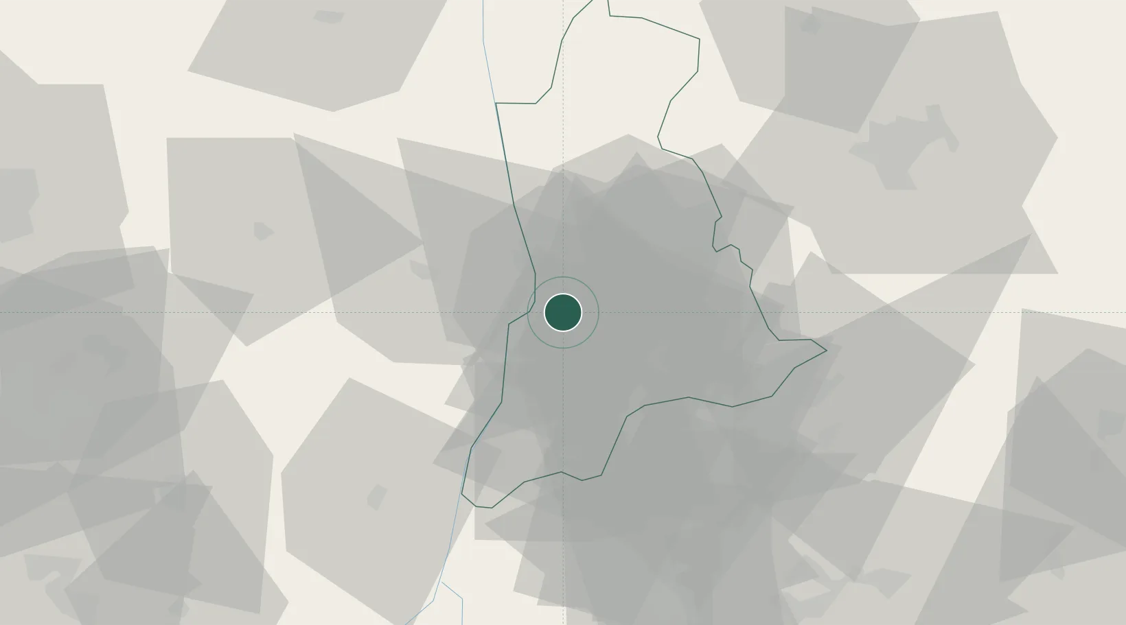
Location
Nearby Logistics Neighbours
Ports
- 1Sapele127 km
- 2Warri136 km
- 3Port Harcourt150 km
- 4Koko150 km
- 5Okrika157 km
Airports
Trade Zones
- 1Imo Guangdong Free Trade Zone70 km
- 2Enpower Enugu Free Zone92 km
- 3Warri Oil & Gas Free Zone136 km
- 4Koko Free Trade Zone146 km
- 5Enyimba Economic City147 km
DatabookThe Record of Consolidated Knowledge
Nigeria beyond logistics?