Runway & Layout

Airport Specifications
ICAO code
DNAN
Airport class
Small airport
Scheduled service
Yes
Served city
Umuleri
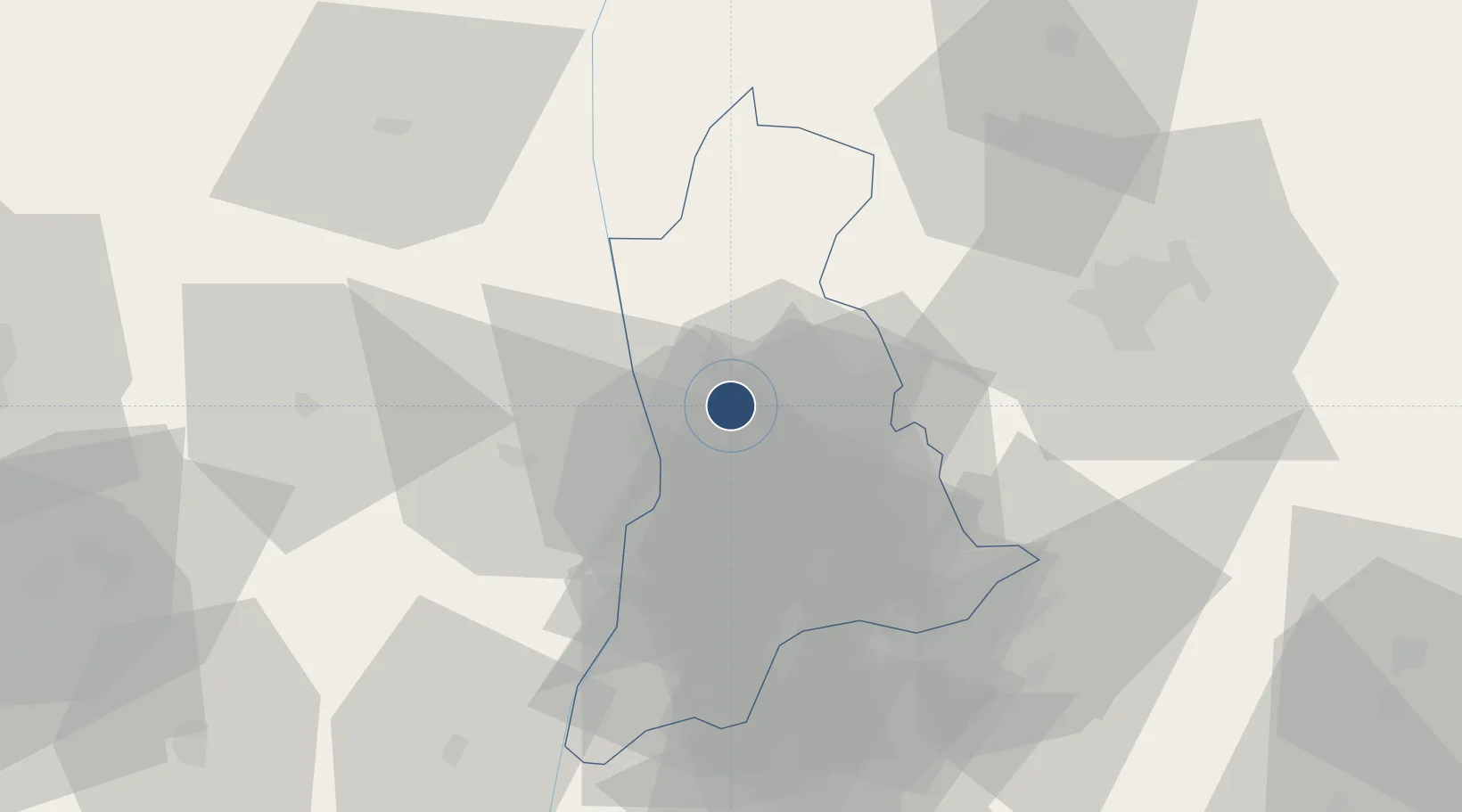
Location
Nearby Logistics Neighbours
Airports
Cities
- 1Asaba16 km
- 2Umuoja Obosi20 km
- 3Awka78 km
- 4Auchi111 km
- 5Anambra126 km
Ports
- 1Sapele138 km
- 2Warri151 km
- 3Koko158 km
- 4Port Harcourt168 km
- 5Okrika174 km
Trade Zones
- 1Enpower Enugu Free Zone79 km
- 2Imo Guangdong Free Trade Zone87 km
- 3Ebonyi Export Processing Zone139 km
- 4Warri Oil & Gas Free Zone150 km
- 5Koko Free Trade Zone154 km
DatabookThe Record of Consolidated Knowledge
Nigeria beyond logistics?