Transport Functions
Port
Hub Profile
Place type
Populated place
Region
Kaduna State
Time zone
Africa/Lagos
Elevation
532 m
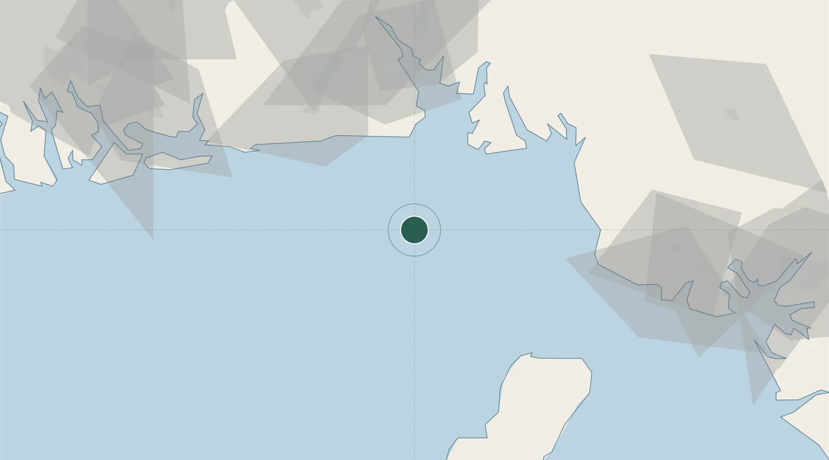
Location
Nearby Logistics Neighbours
Cities
- 1Moudi Terminal22 km
- 2Zafiro Terminal44 km
- 3Serpentina Terminal53 km
- 4Punta Europa Terminal66 km
- 5Malabo72 km
Ports
- 1Moudi Marine Terminal22 km
- 2Kole Oil Terminal26 km
- 3Qua Iboe Oil Terminal32 km
- 4Serpentina Terminal53 km
- 5Punta Europa Terminal66 km
Airports
Trade Zones
DatabookThe Record of Consolidated Knowledge
Nigeria beyond logistics?