Export Processing Zone · Nigeria

Ogogoro Industrial Park Inactive
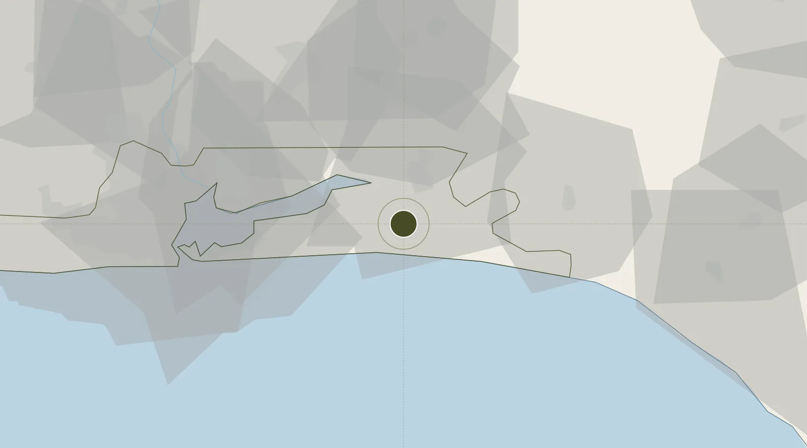
6.5019°, 3.9368°
52 ha
Zone area
60.4 km
Nearest port
68.5 km
Nearest airport

Gateway access

Nearest neighbours — logibook spatial index (haversine) over the source coordinates

Zone profile

Zone type
Export Processing Zone
Open Zone Map
Region
Lagos
Open Zone Map
Status
Inactive
Open Zone Map
Management
Public-Private Partnership
Open Zone Map
Operator
Digisteel, Nigerian Export Processing Zones Authority
Open Zone Map
Legal framework
Section 10 (4) of the Nigeria Export Processing Zones Act No 63 of 1992
Open Zone Map

Location

Location of ozm-2954
Natural Earth 10m (public domain) · Lagos · ozm-2954 · 6.50, 3.94GoogleOSMYandex

Nearby Logistics Neighbours

Ports
  1. 1Lagos60 km
  2. 2Tin Can Island67 km
  3. 3Ukpokiti Marine Terminal131 km
  4. 4Escravos Oil Terminal162 km
  5. 5Cotonou167 km
Nearest neighbours — logibook spatial index (haversine) over the source coordinates
Airports
  1. 1Murtala Muhammed International Airport69 km
  2. 2Ibadan Airport96 km
  3. 3Akure Airport172 km
  4. 4Cotonou Cadjehoun International Airport172 km
  5. 5Benin Airport185 km
Nearest neighbours — logibook spatial index (haversine) over the source coordinates
Cities
  1. 1Ibeju - Lekki11 km
  2. 2Oregun34 km
  3. 3Ogijo51 km
  4. 4Falomo56 km
  5. 5Apapa63 km
Nearest neighbours — logibook spatial index (haversine) over the source coordinates
Trade Zones
  1. 1Lekki Free Trade Zone7 km
  2. 2Lekki Free Zone8 km
  3. 3Lagos Free Trade Zone23 km
  4. 4Olokola Free Trade Zone46 km
  5. 5Eko Atlantic City (Nigeria Commerce City)58 km
Nearest neighbours — logibook spatial index (haversine) over the source coordinates
DatabookThe Record of Consolidated Knowledge
Nigeria beyond logistics?
Browse databook

All Sources

Trade ZonesOpen Zone Map
CC BY
Portsthe NGA World Port Index
Public domain (US gov)
AirportsOurAirports
Public domain
LocationsUN/LOCODE
UN/LOCODE — free
← Nigeria trade zones