Transport Functions
Multimodal
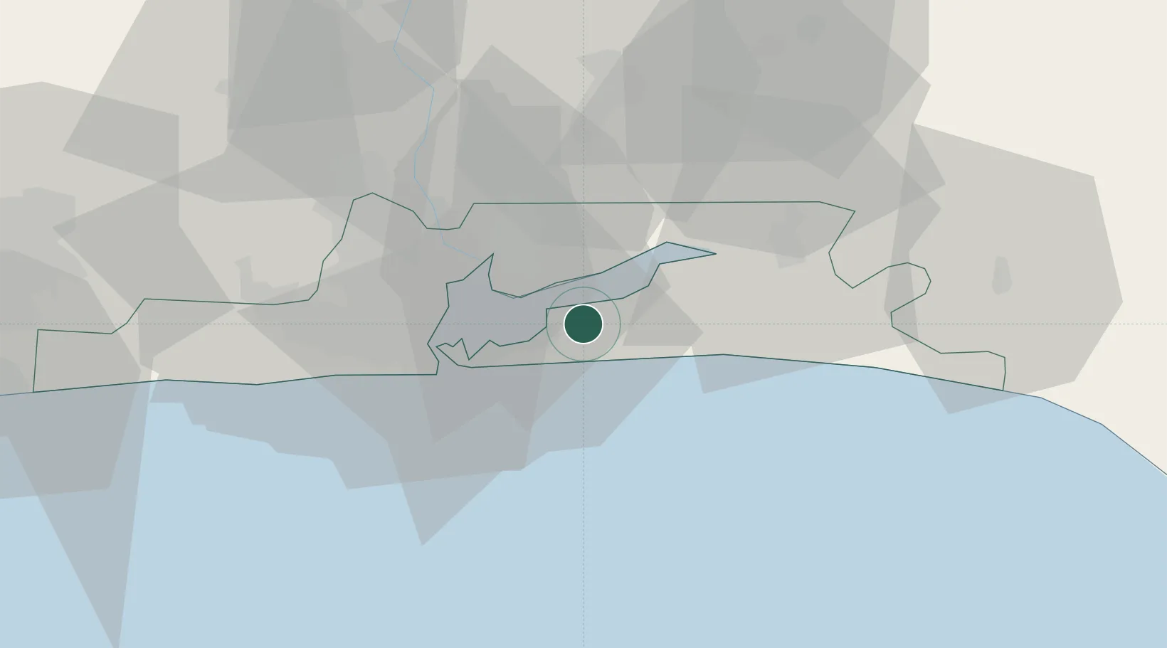
Hub Profile
Place type
Populated place
Region
Lagos
Time zone
Africa/Lagos
Elevation
11 m
Location
Nearby Logistics Neighbours
Ports
- 1Lagos27 km
- 2Tin Can Island35 km
- 3Cotonou133 km
- 4Ukpokiti Marine Terminal157 km
- 5Escravos Oil Terminal187 km
Airports
- 1Murtala Muhammed International Airport36 km
- 2Ibadan Airport105 km
- 3Cotonou Cadjehoun International Airport139 km
- 4Akure Airport203 km
- 5Benin Airport218 km
Trade Zones
DatabookThe Record of Consolidated Knowledge
Nigeria beyond logistics?