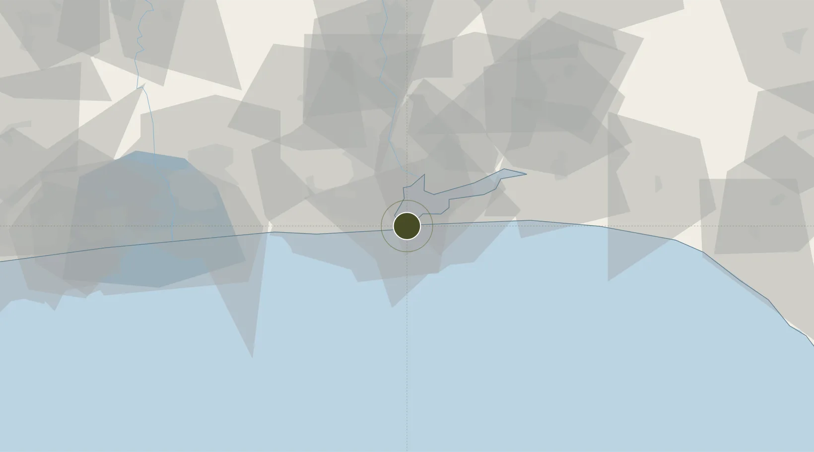
Charter City · Nigeria

Eko Atlantic City (Nigeria Commerce City) Under Development

6.4109°, 3.4158°
44 ha
Zone area
2.1 km
Nearest port
21.3 km
Nearest airport

Gateway access

Nearest neighbours — logibook spatial index (haversine) over the source coordinates

Zone profile

Zone type
Charter City
Open Zone Map
Region
Lagos
Open Zone Map
Status
Under Development
Open Zone Map
Management
Public-Private Partnership
Open Zone Map
Operator
South Energyx Nigeria Limited
Open Zone Map
Legal framework
Section 10 (4) of the Nigeria Export Processing Zones Act No 63 of 1992
Open Zone Map

Location

Location of ozm-2946
Natural Earth 10m (public domain) · Lagos · ozm-2946 · 6.41, 3.42GoogleOSMYandex

Nearby Logistics Neighbours

Ports
  1. 1Lagos2 km
  2. 2Tin Can Island10 km
  3. 3Cotonou109 km
  4. 4Ukpokiti Marine Terminal174 km
  5. 5Escravos Oil Terminal202 km
Nearest neighbours — logibook spatial index (haversine) over the source coordinates
Airports
  1. 1Murtala Muhammed International Airport21 km
  2. 2Cotonou Cadjehoun International Airport114 km
  3. 3Ibadan Airport123 km
  4. 4Akure Airport228 km
  5. 5Lomé–Tokoin International Airport240 km
Nearest neighbours — logibook spatial index (haversine) over the source coordinates
Cities
  1. 1Falomo5 km
  2. 2Tincan/Lagos8 km
  3. 3Lagos10 km
  4. 4Apapa10 km
  5. 5Mushin14 km
Nearest neighbours — logibook spatial index (haversine) over the source coordinates
Trade Zones
  1. 1Ladol Logistics Free Zone4 km
  2. 2Eko Support Free Zone4 km
  3. 3Tomaro Industrial Park7 km
  4. 4Nigerdock Free Zone9 km
  5. 5Snake Island Integrated Free Zone9 km
Nearest neighbours — logibook spatial index (haversine) over the source coordinates
DatabookThe Record of Consolidated Knowledge
Nigeria beyond logistics?
Browse databook

All Sources

Trade ZonesOpen Zone Map
CC BY
Portsthe NGA World Port Index
Public domain (US gov)
AirportsOurAirports
Public domain
LocationsUN/LOCODE
UN/LOCODE — free
← Nigeria trade zones