UN/LOCODE hub · Nigeria
NGGJZ

Ogijo

6.7000°, 3.5167°
1
Transport functions

Transport Functions

Multimodal
UN/LOCODE

Hub Profile

Region
OG
GeoNames

Location

Location of NGGJZ
Natural Earth 10m (public domain) · OG · NGGJZ · 6.70, 3.52GoogleOSMYandex

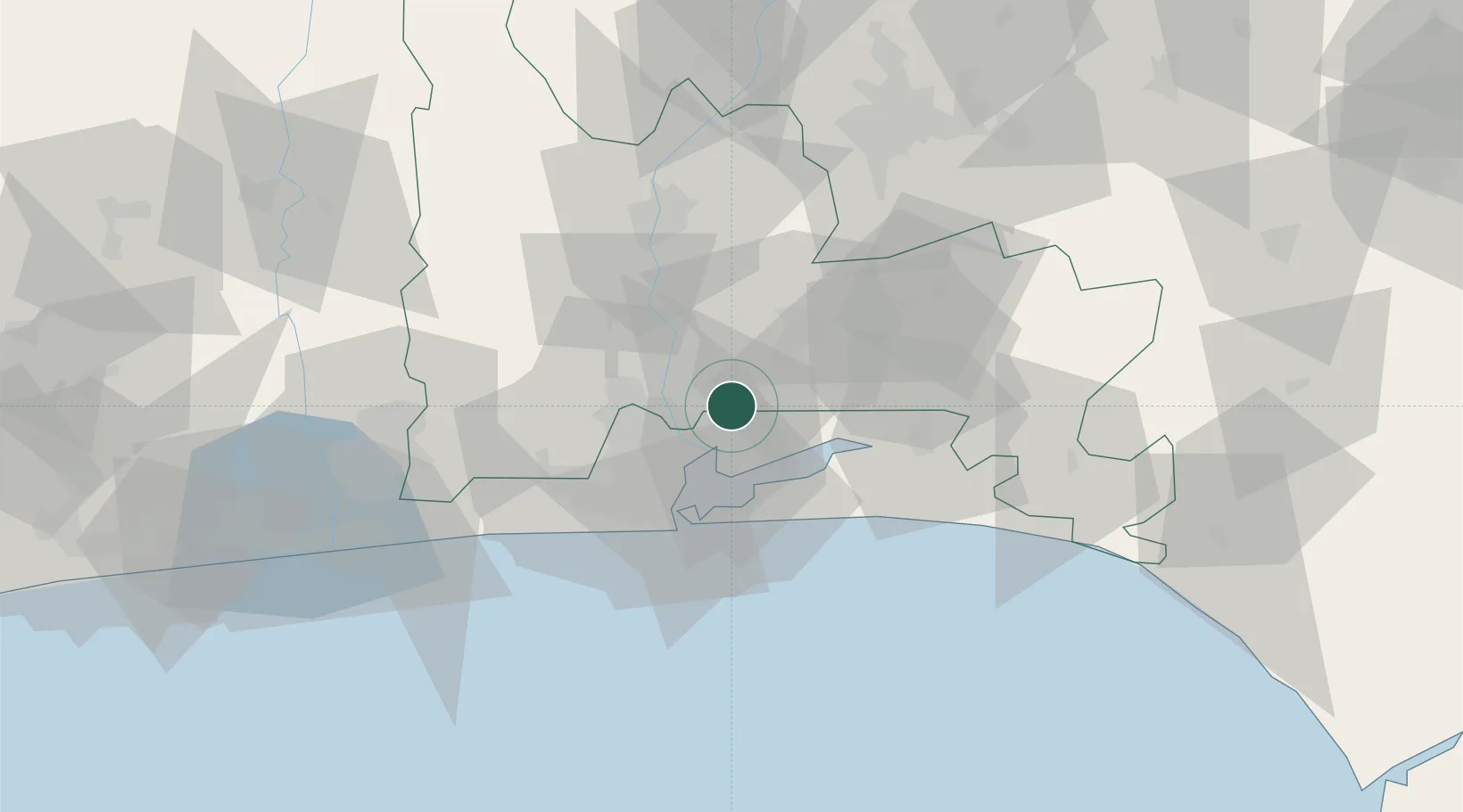
Nearby Logistics Neighbours

Cities
  1. 1Aguda20 km
  2. 2Ifako23 km
  3. 3Shomolu25 km
  4. 4Orile25 km
  5. 5Oshodi26 km
Nearest neighbours — logibook spatial index (haversine) over the source coordinates
Ports
  1. 1Lagos36 km
  2. 2Tin Can Island43 km
  3. 3Cotonou126 km
  4. 4Ukpokiti Marine Terminal181 km
  5. 5Escravos Oil Terminal211 km
Nearest neighbours — logibook spatial index (haversine) over the source coordinates
Airports
  1. 1Murtala Muhammed International Airport26 km
  2. 2Ibadan Airport90 km
  3. 3Cotonou Cadjehoun International Airport131 km
  4. 4Akure Airport206 km
  5. 5General Tunde Idiagbon International Airport222 km
Nearest neighbours — logibook spatial index (haversine) over the source coordinates
Trade Zones
  1. 1Quits Aviation Services Zone23 km
  2. 2Airline Services Export Processing Zone26 km
  3. 3NAHCO Free Trade Zone26 km
  4. 4Eko Support Free Zone32 km
  5. 5Ladol Logistics Free Zone33 km
Nearest neighbours — logibook spatial index (haversine) over the source coordinates
DatabookThe Record of Consolidated Knowledge
Nigeria beyond logistics?
Browse databook

All Sources

LocationsUN/LOCODE
UN/LOCODE — free
Portsthe NGA World Port Index
Public domain (US gov)
AirportsOurAirports
Public domain
Trade Zonesthe World Bank SEZ database
CC BY 4.0
Trade ZonesOpen Zone Map
CC BY
← Nigeria locations