Transport Functions
Port
Road
Hub Profile
Place type
Populated place
Region
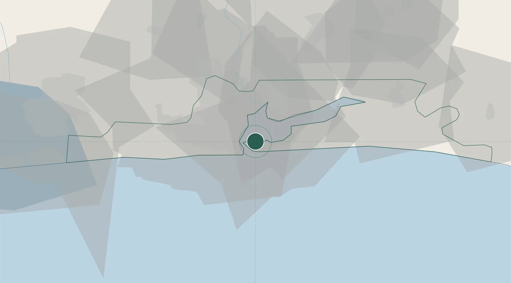
Lagos
Time zone
Africa/Lagos
Elevation
11 m
Location
Nearby Logistics Neighbours
Cities
- 1Apapa8 km
- 2Lagos9 km
- 3Tincan/Lagos9 km
- 4Mushin12 km
- 5Shomolu12 km
Ports
- 1Lagos7 km
- 2Tin Can Island14 km
- 3Cotonou111 km
- 4Ukpokiti Marine Terminal174 km
- 5Escravos Oil Terminal203 km
Airports
- 1Murtala Muhammed International Airport19 km
- 2Cotonou Cadjehoun International Airport116 km
- 3Ibadan Airport118 km
- 4Akure Airport224 km
- 5Benin Airport240 km
Trade Zones
DatabookThe Record of Consolidated Knowledge
Nigeria beyond logistics?