UN/LOCODE hub · Nigeria
NGAPP

Apapa

6.4864°, 3.3703°
1
Transport functions
1
Container terminals

Transport Functions

Port
UN/LOCODE

Hub Profile

Place type
Provincial seat
GeoNames
Region
Lagos
GeoNames
Time zone
Africa/Lagos
GeoNames
Elevation
9 m
GeoNames
Logistics facilities
42
UN/LOCODE
Container terminals
1
UN/LOCODE

Location

Location of NGAPP
Natural Earth 10m (public domain) · Lagos · NGAPP · 6.49, 3.37GoogleOSMYandex

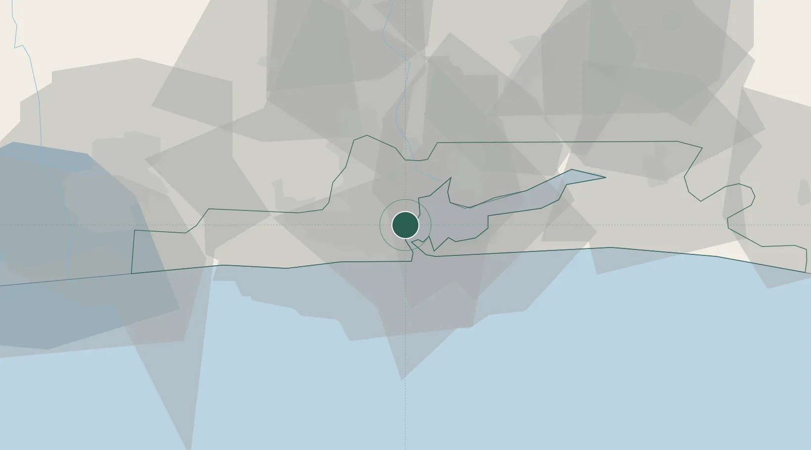
Nearby Logistics Neighbours

Cities
  1. 1Lagos2 km
  2. 2Mushin4 km
  3. 3Tincan/Lagos5 km
  4. 4Shomolu5 km
  5. 5Falomo8 km
Nearest neighbours — logibook spatial index (haversine) over the source coordinates
Ports
  1. 1Lagos10 km
  2. 2Tin Can Island15 km
  3. 3Cotonou105 km
  4. 4Ukpokiti Marine Terminal182 km
  5. 5Kpeme207 km
Nearest neighbours — logibook spatial index (haversine) over the source coordinates
Airports
  1. 1Murtala Muhammed International Airport12 km
  2. 2Cotonou Cadjehoun International Airport110 km
  3. 3Ibadan Airport118 km
  4. 4Akure Airport229 km
  5. 5Lomé–Tokoin International Airport237 km
Nearest neighbours — logibook spatial index (haversine) over the source coordinates
Trade Zones
  1. 1Tomaro Industrial Park5 km
  2. 2Eko Support Free Zone6 km
  3. 3Ladol Logistics Free Zone7 km
  4. 4Nigerdock Free Zone8 km
  5. 5Snake Island Integrated Free Zone8 km
Nearest neighbours — logibook spatial index (haversine) over the source coordinates
DatabookThe Record of Consolidated Knowledge
Nigeria beyond logistics?
Browse databook

All Sources

LocationsUN/LOCODE
UN/LOCODE — free
Portsthe NGA World Port Index
Public domain (US gov)
AirportsOurAirports
Public domain
Trade Zonesthe World Bank SEZ database
CC BY 4.0
Trade ZonesOpen Zone Map
CC BY
← Nigeria locations