Diversified Zone · Nigeria

Lekki Free Trade Zone Active
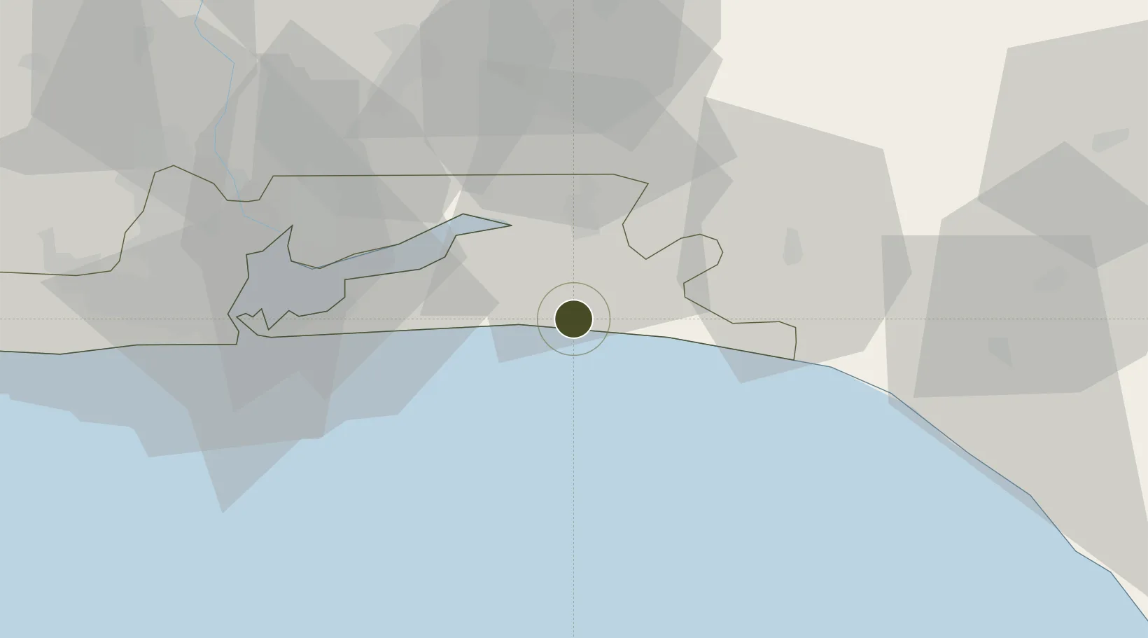
6.4414°, 3.9640°
78 ha
Zone area
62.5 km
Nearest port
72.6 km
Nearest airport

Gateway access

Nearest neighbours — logibook spatial index (haversine) over the source coordinates

Zone profile

Zone type
Diversified Zone
Open Zone Map
Region
Lagos
Open Zone Map
Status
Active
Open Zone Map
Management
Public-Private Partnership
Open Zone Map
Operator
Lekki Free Zone Development Company
Open Zone Map
Legal framework
Section 10 (4) of the Nigeria Export Processing Zones Act No 63 of 1992
Open Zone Map

Location

Location of ozm-2947
Natural Earth 10m (public domain) · Lagos · ozm-2947 · 6.44, 3.96GoogleOSMYandex

Nearby Logistics Neighbours

Ports
  1. 1Lagos63 km
  2. 2Tin Can Island69 km
  3. 3Ukpokiti Marine Terminal124 km
  4. 4Escravos Oil Terminal155 km
  5. 5Cotonou170 km
Nearest neighbours — logibook spatial index (haversine) over the source coordinates
Airports
  1. 1Murtala Muhammed International Airport73 km
  2. 2Ibadan Airport102 km
  3. 3Akure Airport173 km
  4. 4Cotonou Cadjehoun International Airport175 km
  5. 5Benin Airport181 km
Nearest neighbours — logibook spatial index (haversine) over the source coordinates
Cities
  1. 1Ibeju - Lekki5 km
  2. 2Oregun37 km
  3. 3Ogijo57 km
  4. 4Falomo59 km
  5. 5Apapa66 km
Nearest neighbours — logibook spatial index (haversine) over the source coordinates
Trade Zones
  1. 1Lekki Free Zone4 km
  2. 2Ogogoro Industrial Park7 km
  3. 3Lagos Free Trade Zone18 km
  4. 4Olokola Free Trade Zone42 km
  5. 5Eko Atlantic City (Nigeria Commerce City)61 km
Nearest neighbours — logibook spatial index (haversine) over the source coordinates
DatabookThe Record of Consolidated Knowledge
Nigeria beyond logistics?
Browse databook

All Sources

Trade ZonesOpen Zone Map
CC BY
Portsthe NGA World Port Index
Public domain (US gov)
AirportsOurAirports
Public domain
LocationsUN/LOCODE
UN/LOCODE — free
← Nigeria trade zones