Diversified Zone · Nigeria

Kano Free Trade Zone Active
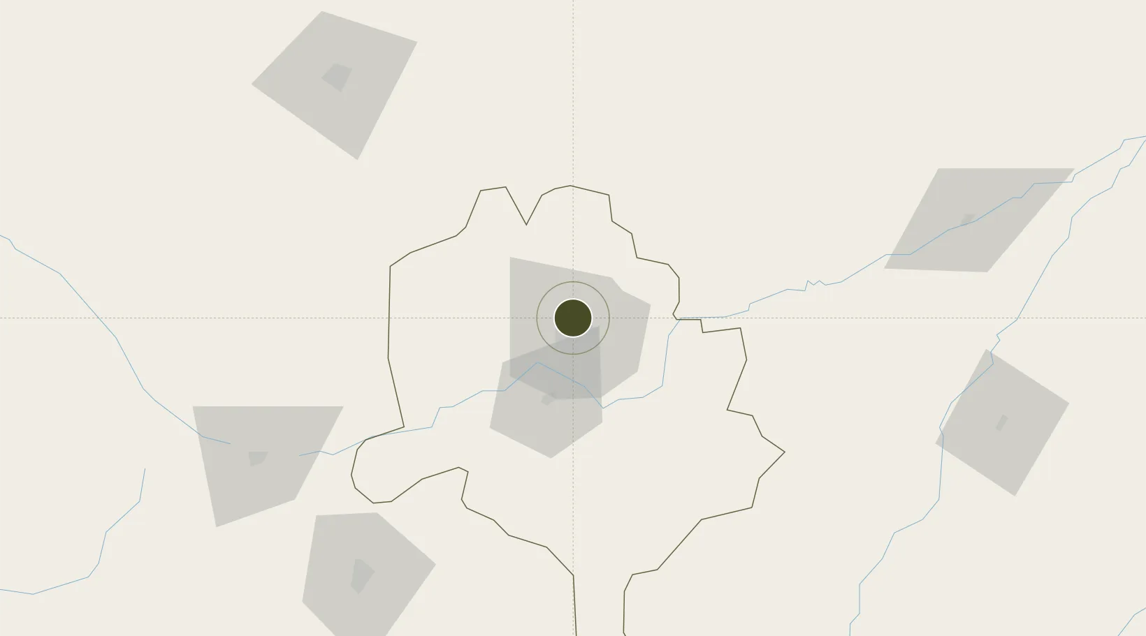
12.0680°, 8.5408°
262 ha
Zone area
754.2 km
Nearest port
3.1 km
Nearest airport

Gateway access

Nearest neighbours — logibook spatial index (haversine) over the source coordinates

Zone profile

Zone type
Diversified Zone
Open Zone Map
Region
Kano
Open Zone Map
Status
Active
Open Zone Map
Management
Public
Open Zone Map
Operator
Nigerian Export Processing Zones Authority
Open Zone Map
Legal framework
Kano Free Trade Zone Regulations of January 27 2010
Open Zone Map

Location

Location of ozm-2949
Natural Earth 10m (public domain) · Kano · ozm-2949 · 12.07, 8.54GoogleOSMYandex

Nearby Logistics Neighbours

Ports
  1. 1Sapele754 km
  2. 2Koko754 km
  3. 3Calabar790 km
  4. 4Warri791 km
  5. 5Ukpokiti Marine Terminal814 km
Nearest neighbours — logibook spatial index (haversine) over the source coordinates
Airports
  1. 1Mallam Aminu Kano International Airport3 km
  2. 2Zaria Airport140 km
  3. 3Umaru Musa Yar'adua Airport142 km
  4. 4Zinder Airport196 km
  5. 5Gusau Airport201 km
Nearest neighbours — logibook spatial index (haversine) over the source coordinates
Cities
  1. 1Kano8 km
  2. 2Zamfarawa80 km
  3. 3Katsina146 km
  4. 4Anta291 km
  5. 5Gombe349 km
Nearest neighbours — logibook spatial index (haversine) over the source coordinates
Trade Zones
  1. 1Maigatari Border Free Trade Zone128 km
  2. 2Maradi Free Zone218 km
  3. 3Abuja Tech. Village Free Zone351 km
  4. 4Abuja Technology Village Free Zone366 km
  5. 5Centenary City374 km
Nearest neighbours — logibook spatial index (haversine) over the source coordinates
DatabookThe Record of Consolidated Knowledge
Nigeria beyond logistics?
Browse databook

All Sources

Trade ZonesOpen Zone Map
CC BY
Portsthe NGA World Port Index
Public domain (US gov)
AirportsOurAirports
Public domain
LocationsUN/LOCODE
UN/LOCODE — free
← Nigeria trade zones