Medium airport · Nigeria
Gusau AirportDNGU
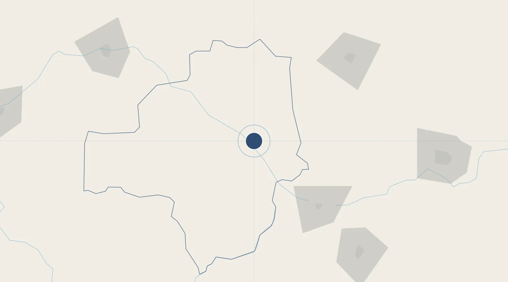
12.1729°, 6.6961°
4,800 ft
Longest runway
1
Runways
1,520 ft
Elevation
Runway & Layout

Runways · 1
| Runway | Dimensions | Surface | True heading | Lit |
|---|---|---|---|---|
| 05/23 | 4,800 × 148ft | LAT | 047° | — |
Airport Specifications
ICAO code
DNGU
Airport class
Medium airport
Scheduled service
No
Runway surface
LAT
Served city
Gusau
Location
Nearby Logistics Neighbours
Airports
- 1Umaru Musa Yar'adua Airport140 km
- 2Maradi Airport155 km
- 3Zaria Airport158 km
- 4Kaduna International Airport178 km
- 5Sadiq Abubakar III International Airport182 km
Ports
- 1Koko700 km
- 2Sapele706 km
- 3Lagos737 km
- 4Tin Can Island744 km
- 5Ukpokiti Marine Terminal745 km
Trade Zones
- 1Maradi Free Zone151 km
- 2Kano Free Trade Zone201 km
- 3Kwara Free Trade Zone292 km
- 4Maigatari Border Free Trade Zone306 km
- 5Abuja Tech. Village Free Zone355 km
DatabookThe Record of Consolidated Knowledge
Nigeria beyond logistics?