Medium airport · Nigeria

Umaru Musa Yar'adua AirportDN57
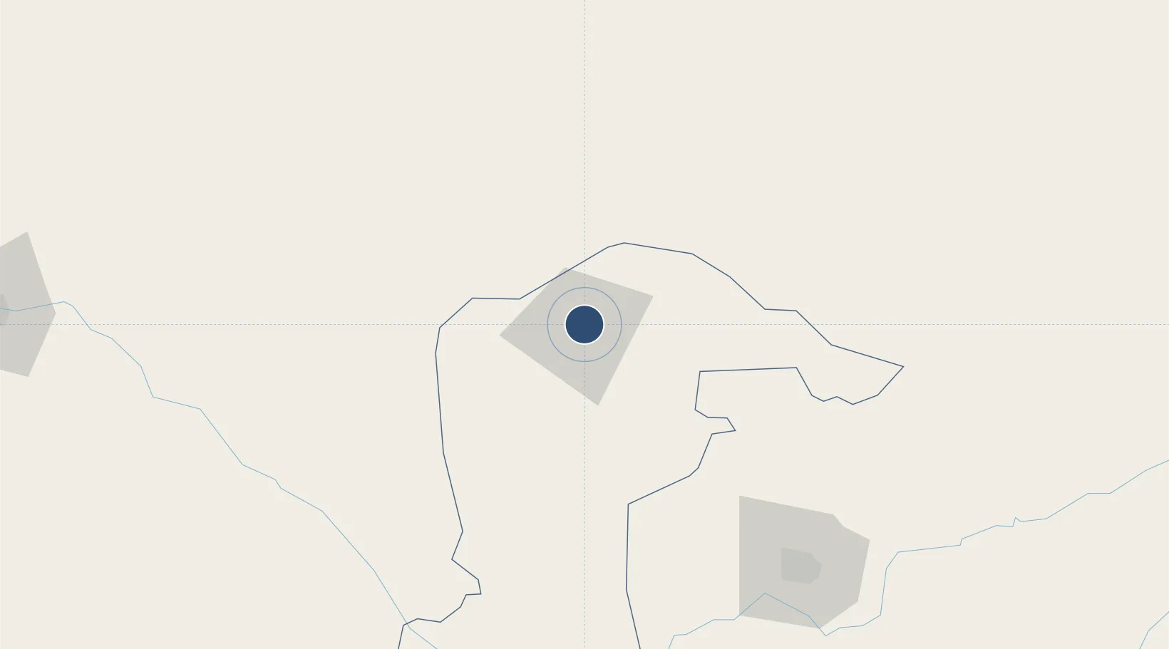
13.0078°, 7.6604°
11,352 ft
Longest runway
1
Runways
1,660 ft
Elevation

Runway & Layout

Umaru Musa Yar'adua Airport runway & taxiway layout
Runway & taxiway layout — OpenStreetMap (ODbL) / OurAirports

Radio Frequencies

TWR
125 MHz
OurAirports

Runways · 1

RunwayDimensions SurfaceTrue headingLit
04/22 11,352 × 148ft Asphalt 037°
OurAirports

Airport Specifications

IATA code
DKA
OurAirports
ICAO code
DNKT
OurAirports
Airport class
Medium airport
OurAirports
Scheduled service
Yes
OurAirports
Runway surface
Asphalt
OurAirports
Served city
Katsina
OurAirports

Location

Location of DN57
Natural Earth 10m (public domain) · Katsina · DN57 · 13.01, 7.66GoogleOSMYandex

Nearby Logistics Neighbours

Airports
  1. 1Maradi Airport80 km
  2. 2Gusau Airport140 km
  3. 3Mallam Aminu Kano International Airport142 km
  4. 4Zinder Airport167 km
  5. 5Zaria Airport209 km
Nearest neighbours — logibook spatial index (haversine) over the source coordinates
Cities
  1. 1Katsina9 km
  2. 2Zamfarawa134 km
  3. 3Kano146 km
  4. 4Kebbi333 km
  5. 5Anta405 km
Nearest neighbours — logibook spatial index (haversine) over the source coordinates
Ports
  1. 1Koko816 km
  2. 2Sapele820 km
  3. 3Warri859 km
  4. 4Ukpokiti Marine Terminal866 km
  5. 5Lagos870 km
Nearest neighbours — logibook spatial index (haversine) over the source coordinates
Trade Zones
  1. 1Maradi Free Zone77 km
  2. 2Kano Free Trade Zone142 km
  3. 3Maigatari Border Free Trade Zone194 km
  4. 4Kwara Free Trade Zone424 km
  5. 5Abuja Tech. Village Free Zone437 km
Nearest neighbours — logibook spatial index (haversine) over the source coordinates
DatabookThe Record of Consolidated Knowledge
Nigeria beyond logistics?
Browse databook

All Sources

AirportsOurAirports
Public domain
Portsthe NGA World Port Index
Public domain (US gov)
LocationsUN/LOCODE
UN/LOCODE — free
Trade Zonesthe World Bank SEZ database
CC BY 4.0
Trade ZonesOpen Zone Map
CC BY
InfrastructureOpenStreetMap
ODbL 1.0
← Nigeria airports