Free Trade Zone · Niger

Maradi Free Zone Under Development
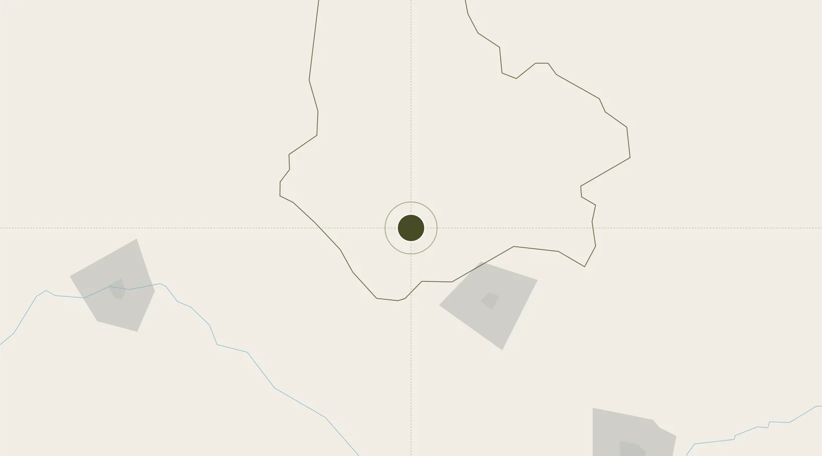
13.4614°, 7.1287°
20 ha
Zone area
849.4 km
Nearest port
4.6 km
Nearest airport

Gateway access

Nearest neighbours — logibook spatial index (haversine) over the source coordinates

Zone profile

Zone type
Free Trade Zone
Open Zone Map
Region
Maradi
Open Zone Map
Status
Under Development
Open Zone Map
Management
Public
Open Zone Map
Operator
Mali Ministry of Industry, Investments & Commerce
Open Zone Map
Legal framework
Law No. 2014-09 on Foreign Investment
Open Zone Map

Location

Location of ozm-2944
Natural Earth 10m (public domain) · Maradi · ozm-2944 · 13.46, 7.13GoogleOSMYandex

Nearby Logistics Neighbours

Ports
  1. 1Koko849 km
  2. 2Sapele856 km
  3. 3Lagos885 km
  4. 4Tin Can Island892 km
  5. 5Ukpokiti Marine Terminal895 km
Nearest neighbours — logibook spatial index (haversine) over the source coordinates
Airports
  1. 1Maradi Airport5 km
  2. 2Umaru Musa Yar'adua Airport77 km
  3. 3Gusau Airport151 km
  4. 4Zinder Airport204 km
  5. 5Sadiq Abubakar III International Airport217 km
Nearest neighbours — logibook spatial index (haversine) over the source coordinates
Cities
  1. 1Katsina72 km
  2. 2Zamfarawa199 km
  3. 3Kano222 km
  4. 4Kebbi300 km
  5. 5Gaya438 km
Nearest neighbours — logibook spatial index (haversine) over the source coordinates
Trade Zones
  1. 1Kano Free Trade Zone218 km
  2. 2Maigatari Border Free Trade Zone260 km
  3. 3Kwara Free Trade Zone400 km
  4. 4Dosso Dry Port429 km
  5. 5Abuja Tech. Village Free Zone489 km
Nearest neighbours — logibook spatial index (haversine) over the source coordinates
DatabookThe Record of Consolidated Knowledge
Niger beyond logistics?
Browse databook

All Sources

Trade ZonesOpen Zone Map
CC BY
Portsthe NGA World Port Index
Public domain (US gov)
AirportsOurAirports
Public domain
LocationsUN/LOCODE
UN/LOCODE — free
← Niger trade zones