Transport Functions
Port
Fixed Transport
Hub Profile
Place type
Regional capital
Region
Katsina State
Population
670,000
Time zone
Africa/Lagos
Elevation
519 m
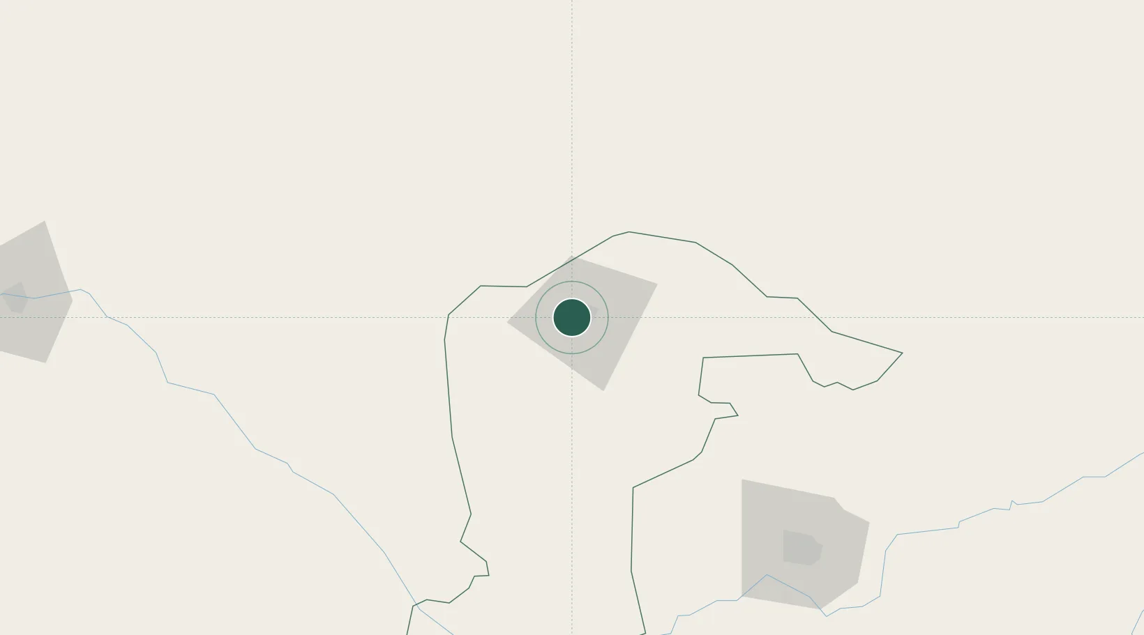
Location
Nearby Logistics Neighbours
Ports
- 1Koko810 km
- 2Sapele815 km
- 3Warri855 km
- 4Ukpokiti Marine Terminal861 km
- 5Lagos864 km
Airports
- 1Umaru Musa Yar'adua Airport9 km
- 2Maradi Airport76 km
- 3Gusau Airport132 km
- 4Mallam Aminu Kano International Airport146 km
- 5Zinder Airport175 km
Trade Zones
- 1Maradi Free Zone72 km
- 2Kano Free Trade Zone146 km
- 3Maigatari Border Free Trade Zone202 km
- 4Kwara Free Trade Zone415 km
- 5Abuja Tech. Village Free Zone434 km
DatabookThe Record of Consolidated Knowledge
Nigeria beyond logistics?