Transport Functions
Multimodal
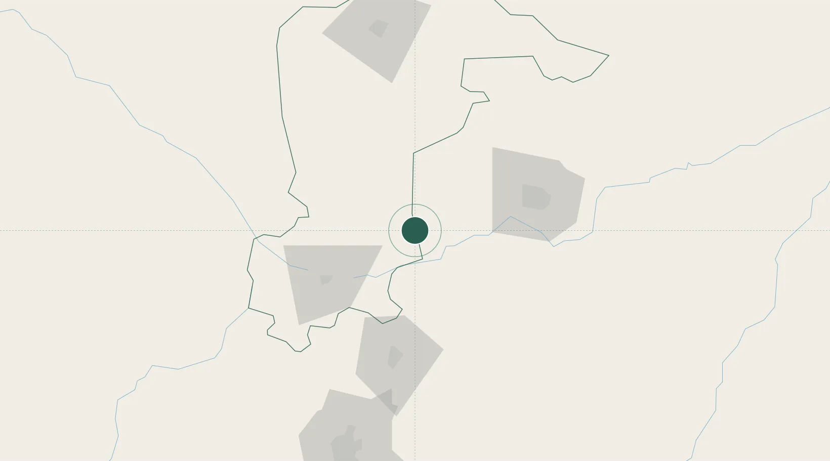
Hub Profile
Place type
Populated place
Region
Katsina State
Time zone
Africa/Lagos
Elevation
564 m
Location
Nearby Logistics Neighbours
Ports
- 1Koko698 km
- 2Sapele700 km
- 3Warri738 km
- 4Ukpokiti Marine Terminal753 km
- 5Calabar763 km
Airports
- 1Mallam Aminu Kano International Airport78 km
- 2Zaria Airport78 km
- 3Gusau Airport132 km
- 4Umaru Musa Yar'adua Airport134 km
- 5Kaduna International Airport137 km
Trade Zones
- 1Kano Free Trade Zone80 km
- 2Maradi Free Zone199 km
- 3Maigatari Border Free Trade Zone205 km
- 4Abuja Tech. Village Free Zone307 km
- 5Abuja Technology Village Free Zone320 km
DatabookThe Record of Consolidated Knowledge
Nigeria beyond logistics?